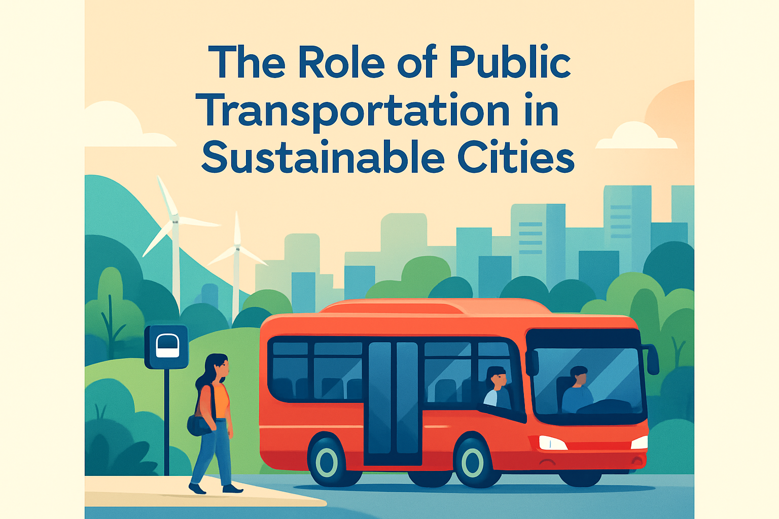
Designing for active transportation means shaping streets, public spaces, and networks so people can safely and comfortably walk or bike for daily trips. In urban mobility and transportation, active transportation refers primarily to human-powered travel, especially walking and bicycling, though planners often include devices such as scooters, wheelchairs, and cargo bikes because they use the same right-of-way decisions. I have worked on corridor redesigns where a painted bike lane failed, a curb extension changed crossing behavior immediately, and a missing sidewalk gap kept an entire neighborhood disconnected from schools and shops. Those projects made one point unmistakable: design determines whether people choose active transportation or avoid it. This topic matters because transportation is usually the largest source of greenhouse gas emissions in many regions, because road crashes kill vulnerable users at unacceptable rates, and because street design directly affects health, access, retail vitality, and household costs. A city that supports walking and biking reduces short car trips, improves first-and-last-mile access to transit, and creates streets that work better for children, older adults, and people with disabilities. As a hub page within urban mobility and transportation, this article covers the full miscellaneous landscape: principles, street elements, safety treatments, land use connections, climate considerations, operations, funding, and implementation.
Core Principles of Active Transportation Design
The first rule is simple: people walk and bike when routes feel direct, safe, coherent, and dignified. Directness means the network connects homes to common destinations without forcing detours, dead ends, or high-stress crossings. Safety means more than crash reduction. It includes low operating speeds, forgiving geometry, sight lines, lighting, and conflict management at driveways and intersections. Coherence means facilities are legible and continuous; a protected bike lane that disappears before a busy junction is not a network. Dignity means enough sidewalk width for side-by-side walking, curb ramps aligned with crossings, shade where heat is severe, and surfaces smooth enough for wheelchairs, strollers, and small bicycle tires.
Street designers commonly use a systems approach rather than isolated projects. The design speed of a street should match its context and intended use. On mixed-use main streets, 20 to 25 mph operating speeds are usually far more compatible with walking and bicycling than 35 mph. Separation is another central principle. When traffic volumes and speeds rise, painted space is rarely enough; vertical protection, raised facilities, or parallel low-stress routes become necessary. The Dutch Sustainable Safety approach and the Safe System philosophy both support this logic: humans make mistakes, so the street must prevent those mistakes from becoming severe injuries. In practice, that means narrowing crossing distances, reducing turn speeds, daylighting corners, and creating predictable movements.
Sidewalks, Bikeways, and the Street Cross Section
Good active transportation design starts with the cross section. Sidewalks should generally be continuous on both sides of urban streets, with a clear pedestrian through zone separated from the curb by a furnishing zone where trees, lighting, drainage inlets, benches, and signs can sit without blocking movement. The Americans with Disabilities Act establishes the baseline for accessible design in the United States, but best practice goes beyond minimum compliance. A narrow sidewalk with utility poles in the middle may technically exist yet still fail as a practical walking facility. On commercial streets, wider sidewalks support outdoor seating, street vending, and queueing while preserving an accessible clear path.
For bicycling, facility choice depends on speed, volume, curb use, and user comfort. Shared lanes may work on calm neighborhood streets with very low traffic volumes, but they do not create low-stress conditions on multi-lane arterials. Conventional bike lanes can be appropriate where speeds are lower and conflicts are manageable. Protected bike lanes, whether curb-protected, parking-protected, or delineator-protected, are the preferred treatment on many busy corridors because they reduce exposure and attract a broader range of riders, including teenagers, seniors, and less confident adults. Shared-use paths can fill gaps along rivers, rail corridors, and parkways, but they need careful design at crossings and access points to avoid hidden conflicts.
Cross-section design also requires tradeoffs. Freight loading, bus stops, emergency access, stormwater features, and curbside parking all compete for finite street width. The best solutions are usually corridor-specific rather than ideological. I have seen one lane reallocated from general traffic to a protected bikeway and loading bays with little effect on travel time because turning friction, not through capacity, was the real bottleneck. Data, not assumptions, should drive these decisions.
Intersections Are Where Safety Is Won or Lost
Most serious conflicts happen at intersections, so corridor quality is only as good as junction design. Essential treatments include high-visibility crosswalks, median refuges on wide roads, curb extensions to shorten crossing distance, and accessible pedestrian signals where warranted. Corner radii should be tightened to slow turns. Slip lanes deserve special scrutiny because they create free-flow vehicle movements that are fundamentally hostile to walking. Removing a slip lane often improves safety and simplifies the crossing without crippling traffic operations.
For bicycling, protected intersections are increasingly important. Their purpose is to keep riders visible, separate turning vehicles from through cyclists, and slow turning speeds. Setback crossings, corner islands, dedicated bicycle signal phases, and clear yield markings are all part of the toolkit. At driveways, the same logic applies: maintain sidewalk and bikeway continuity across the conflict point so drivers understand they are crossing, not entering, a through route with priority. Transit stop design matters too. Floating bus stops can preserve a protected bike lane while giving passengers a boarding island, but they require tactile guidance, clear markings, and enough width to avoid pedestrian crowding.
| Design issue | Common weak treatment | Stronger treatment | Why it works |
|---|---|---|---|
| Wide pedestrian crossing | Paint only | Curb extensions and refuge island | Reduces exposure time and improves visibility |
| Bike lane at busy junction | Lane drops before intersection | Protected intersection with setback crossing | Manages turning conflicts and lowers speeds |
| Commercial curb activity | Unmanaged loading in bike lane | Dedicated loading bays and curb management plan | Prevents blockage and unpredictable merges |
| High-speed multilane street | Standard painted bike lane | Raised or protected bikeway | Creates low-stress conditions for more users |
| Long arterial crossing | Two-stage unsignalized crossing | Signal timing with median refuge and LPIs | Improves crossing compliance and comfort |
Network Planning, Land Use, and Connectivity
Walking and biking succeed when the network matches how people actually travel. That means connecting homes to schools, grocery stores, parks, employment centers, transit hubs, and medical services, not just building recreational trails. Planning should identify desire lines, barriers, and catchment gaps. A quarter-mile sidewalk gap near a school can matter more than a mile of scenic trail because it sits on a daily trip. GIS tools, origin-destination data, and school travel surveys help prioritize these links, but field audits remain indispensable. On paper, a route may appear connected; on site, a missing curb ramp, a hostile driveway throat, or a steep grade may make it unusable.
Land use and zoning strongly influence active transportation performance. Compact, mixed-use areas shorten trip distances and increase the share of trips that can reasonably be walked or biked. Block size matters too. Small blocks and frequent connections distribute traffic and offer route choice, while superblocks and cul-de-sacs funnel everyone onto arterials. Parking policy also affects outcomes. Excessive minimum parking requirements spread destinations apart and degrade the pedestrian realm with curb cuts and blank frontages. By contrast, active ground floors, transparent facades, and building entrances facing the street create safer and more inviting walking conditions through passive surveillance.
This hub also includes the overlooked miscellaneous pieces that make networks work: secure bicycle parking, end-of-trip facilities, wayfinding, bike-share docks, maintenance access, school-zone design, trailheads, and integration with micromobility. These are not accessories. A protected lane to a station fails if there is nowhere safe to lock a bike.
Climate, Equity, and Universal Design
Active transportation design must respond to local climate and social conditions. In hot regions, shade can determine whether a sidewalk is usable for six months of the year. Street trees, arcades, canopies, cool paving strategies, and drinking fountains are not beautification extras; they are thermal comfort infrastructure. In rainy or snowy cities, drainage, winter maintenance, and slip resistance become central. I have seen excellent bikeways lose ridership because snow storage blocked intersections or because drainage grates were placed in the riding line. Maintenance plans should be designed with the facility, not added later.
Equity is equally practical. Lower-income households often rely more on walking, transit, and biking, yet many underserved areas have the worst sidewalks, the highest injury rates, and the fewest safe crossings. Prioritization should therefore combine demand with need, using crash history, income, disability prevalence, transit dependence, and health indicators. Universal design requires more than ramps. It includes audible signals, tactile warning surfaces, adequate crossing time, resting places on steep routes, smooth transitions, and enough space for mobility devices. Designing for active transportation is not about serving a fit minority in lycra. It is about making everyday movement possible for the widest range of users.
Measuring Success, Funding Projects, and Moving From Plan to Delivery
Cities should measure active transportation with more than counts of cyclists on flagship corridors. Useful metrics include sidewalk completeness, low-stress bikeway coverage, intersection density, crossing delay, injury severity, school access, bike parking utilization, and mode share for short trips. Before-and-after studies are especially valuable because they reveal whether a project changed behavior or simply shifted existing users. Tools such as the Highway Safety Manual, NACTO design guidance, FHWA bikeway selection methods, Level of Traffic Stress mapping, and accessibility audits provide structured ways to evaluate performance.
Funding is typically braided from local capital budgets, transportation sales taxes, safety programs, development impact fees, public health grants, and state or national discretionary programs. Quick-build materials such as paint, posts, modular curbs, and temporary islands can accelerate delivery, test concepts, and build public support before full reconstruction. Quick-build is not a substitute for permanent quality, but it is one of the most effective ways to turn plans into visible safety improvements within a budget cycle. Public engagement should focus on real tradeoffs and real user experience. The most productive workshops I have run were walking audits with residents, merchants, school staff, and disability advocates standing at the exact crossing under discussion.
Designing for active transportation: walking and biking is ultimately about giving people practical choices. The strongest projects start with a clear question: can an eight-year-old, an older adult, and a wheelchair user move here safely and comfortably? If the answer is no, the design is incomplete. The key takeaways are consistent across every miscellaneous subtopic in this hub. Build continuous networks, not fragments. Prioritize intersections, not just midblock segments. Match protection to traffic speed and volume. Tie routes to land use and transit. Design for climate, maintenance, and accessibility from the beginning. Measure outcomes with safety, comfort, and connectivity indicators, then refine the network over time.
When cities get these basics right, the benefits compound. Households gain lower transportation costs, business districts gain more foot traffic, transit systems gain better access, and public health improves through routine physical activity built into daily life. Just as important, streets become more humane places to spend time rather than corridors to rush through. Use this hub as the starting point for every active transportation decision in your urban mobility and transportation strategy, then move from policy to corridor audits, pilot projects, and permanent redesigns that make walking and biking the easy choice every day.
Frequently Asked Questions
What does “active transportation” mean in street and corridor design?
Active transportation refers to everyday travel powered primarily by people rather than motors, most commonly walking and bicycling. In practice, good active transportation design also considers users such as people using wheelchairs, mobility devices, scooters, strollers, and cargo bikes, because they depend on many of the same street design decisions: safe crossings, smooth surfaces, protected space, manageable speeds, and clear visibility. In urban mobility planning, designing for active transportation is not just about adding a sidewalk or painting a bike lane. It is about shaping the entire public right-of-way so people can move comfortably and predictably from origin to destination.
That means designers look at the full trip, not just isolated segments. A corridor may appear “walkable” on paper but fail in reality if crossings are too long, signals are poorly timed, curb ramps are missing, bus stops are inaccessible, or bike lanes disappear at intersections. The same is true for bicycling: a painted lane beside fast traffic may technically provide space, but it often does not provide enough comfort for most riders. Effective active transportation design creates connected networks, reduces conflict points, improves safety at intersections, supports access to homes, schools, shops, and transit, and makes human-powered travel a practical choice for daily trips rather than a recreational afterthought.
Why do painted bike lanes often fall short, and what works better?
Paint alone rarely changes how safe a street feels when adjacent motor vehicle traffic is fast, heavy, or unpredictable. A painted bike lane may define space, but it does little to reduce the stress created by close passing vehicles, turning conflicts, double parking, delivery activity, or drivers drifting across the line. For confident cyclists, that may be tolerable. For children, older adults, new riders, and people using cargo bikes or adaptive cycles, it often is not. That is why many painted bike lanes underperform: they technically exist, but they do not create a level of comfort that attracts a broad range of users.
What tends to work better is a protected, connected design. Protected bike lanes use vertical elements, raised separation, parking buffers, curbs, or landscaped space to create a more forgiving and physically distinct riding environment. But protection alone is not enough. The strongest designs carry that protection through intersections, where many serious conflicts happen. Features such as setback crossings, concrete islands, dedicated bike signals, daylighting near corners, reduced turning radii, and clear right-of-way assignments make a major difference. In short, successful bike design is less about stripe width and more about reducing exposure to moving vehicles, clarifying movements, and ensuring the facility is continuous where people actually need it most.
What makes a street truly safe and comfortable for people walking?
A walkable street does more than provide a sidewalk. Safety and comfort come from a combination of width, continuity, accessibility, crossings, traffic speed, visibility, and the overall quality of the pedestrian environment. Sidewalks should be continuous, accessible, and wide enough for people to pass one another, walk side by side, or move with mobility devices without being forced into the street. Curb ramps, tactile warnings, smooth surfaces, and manageable grades are basic requirements, not optional upgrades. If any part of the route is missing or obstructed, the whole trip becomes less usable.
Crossings are especially important because that is where pedestrian networks often break down. Shorter crossing distances, median refuges, high-visibility markings, leading pedestrian intervals, tighter corner radii, and signal timing that reflects real walking speeds all improve safety. Streets are also more comfortable when traffic moves slowly and predictably. Trees, lighting, street furniture, active building frontages, weather protection, and buffers from moving vehicles make walking feel more inviting, but the foundation is speed management. A beautifully designed sidewalk next to high-speed traffic with frequent right-turn conflicts will still feel hostile. Streets become truly walkable when the design signals that pedestrians are expected, prioritized, and protected at every stage of the trip.
How do planners balance the needs of walkers, bicyclists, transit riders, drivers, and deliveries on the same street?
Balancing street users starts with recognizing that a street cannot maximize every function equally in every location. Good corridor design begins by identifying the street’s context and purpose: Is it a neighborhood main street, a school route, a transit spine, a commercial district, or a high-volume through corridor? Once the priority functions are clear, planners can assign space in a way that supports those goals rather than treating every mode as interchangeable. In many urban settings, this means prioritizing safety, access, and person-throughput over vehicle speed alone.
The best designs reduce conflict through clarity and allocation. That may include dedicated transit lanes, protected bike facilities, frequent crossings, curb management for loading, timed delivery zones, accessible pickup areas, and narrower general travel lanes to calm traffic. Curb space is often one of the most contested elements, so managing it intentionally is critical. If deliveries are not accommodated, trucks may block bike lanes or crosswalks. If transit stops are poorly integrated, riders may be forced into unsafe boarding conditions. If pedestrian crossings are too far apart, people will cross midblock in difficult conditions. A balanced street is not one that gives every user the same amount of pavement; it is one that gives each user the type of space and protection they need to move safely and efficiently.
What are the most important principles for building an active transportation network that people will actually use?
The most important principle is connectivity. People do not experience infrastructure as isolated projects; they experience it as a network. A protected lane that ends abruptly, a sidewalk that disappears near a bridge, or a crossing that requires long detours can undermine an entire route. To be useful, active transportation facilities must connect homes, schools, jobs, parks, commercial areas, and transit stops in a direct and legible way. The next principle is comfort for the broadest range of users, not just the most confident. If a design only works for experienced cyclists or highly mobile pedestrians, it will not generate widespread adoption.
Safety at intersections is another top priority, because that is where route quality is often won or lost. Speed management also matters enormously. Lower vehicle speeds improve survival rates in crashes, reduce stress, and make it easier to create shared public space that feels humane rather than purely automotive. Equity and accessibility should be built in from the start, ensuring investments reach communities that depend on walking, bicycling, and transit the most, including children, older adults, and people with disabilities. Finally, successful networks are iterative: planners should observe how people actually move, collect safety and usage data, refine curb operations, and adjust designs over time. The goal is not merely to install facilities, but to create a system where walking and biking feel safe, convenient, and normal for everyday trips.