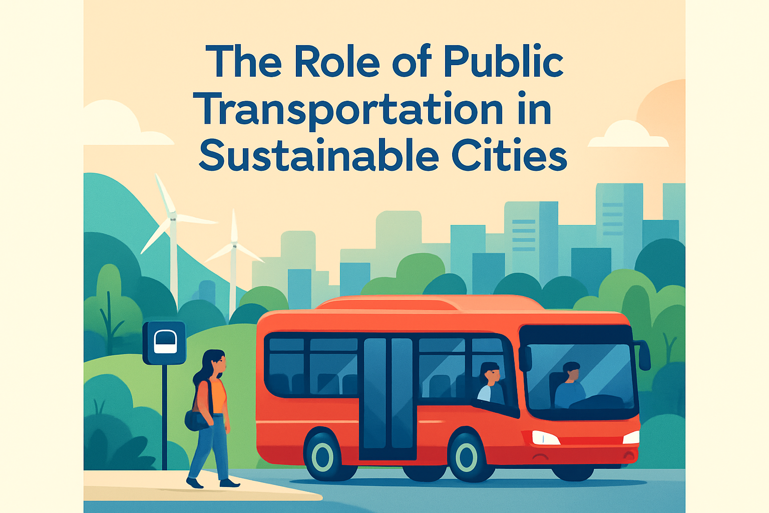
Urban mobility and disaster resilience are inseparable because a city’s transportation system becomes most important when normal life is disrupted. Urban mobility refers to how people and goods move through streets, sidewalks, transit networks, rail corridors, ports, airports, and digital trip-planning systems. Disaster resilience is the capacity of those systems to absorb shocks, continue operating at a basic level, recover quickly, and adapt so the next disruption causes less harm. In practice, this means buses that can reroute around floodwater, sidewalks that remain usable during heat waves, backup power for rail signaling, and emergency plans that move residents without private cars. I have worked on transportation content and planning reviews long enough to see the same lesson repeated: when mobility fails, every other urban service struggles too.
This topic matters because disasters are no longer rare edge cases. Cities face hurricanes, river flooding, wildfire smoke, earthquakes, landslides, cyberattacks, extreme heat, blizzards, and prolonged power outages. Each hazard affects movement differently. Heat can buckle rail tracks and stress transit workers. Flooding can disable tunnels, underpasses, substations, and traffic signals within minutes. Earthquakes can damage bridges and elevated structures, while smoke reduces visibility and changes travel behavior across an entire metro area. The people hit first are often those with the fewest options: low-income households, older adults, disabled residents, shift workers, and people in neighborhoods with limited transit coverage. A resilient urban mobility strategy therefore protects safety, economic continuity, and social equity at the same time.
As a hub within urban mobility and transportation, this article covers the broad landscape of the subtopic and links the main ideas that more specialized articles usually unpack in detail. The essential question is simple: how do cities keep people moving before, during, and after a disaster without creating new risks? The answer involves infrastructure design, operations, public communication, governance, funding, land use, and community trust. It also requires accepting tradeoffs. Redundancy costs money, but single points of failure cost more when they collapse. Fast evacuation helps in some emergencies, while sheltering in place is safer in others. Technology helps with prediction and coordination, but only if analog backups exist when networks fail. Strong urban mobility and disaster resilience planning turns transportation from a vulnerability into a lifeline.
Why transportation systems determine urban resilience
Transportation determines whether emergency services arrive, whether workers reach hospitals and utilities, whether supply chains continue, and whether residents can evacuate or access shelter. In resilient cities, mobility planning is treated as critical infrastructure planning rather than a narrow traffic management exercise. That distinction matters. A road network built only for peak commuter throughput may perform poorly during emergencies if it lacks multimodal redundancy, protected corridors, and flexible operations. By contrast, a network with buses, rail, safe walking routes, protected bike lanes, freight alternatives, and coordinated traffic management can shift demand when one mode fails.
Real-world events show this clearly. During Hurricane Sandy, New York’s transit tunnels and electrical systems suffered severe flooding, exposing the vulnerability of underground assets and the importance of hardening substations, protecting entrances, and staging recovery crews. In Tokyo, earthquake preparedness extends into transport operations, where rail operators use seismic detection and structured shutdown protocols to reduce catastrophic risk. In Rotterdam and Copenhagen, climate adaptation and transport planning increasingly overlap, with drainage, waterfront design, and street redesign intended to keep critical corridors passable during intense rainfall. These examples differ by hazard, but they share one principle: mobility resilience is not a single project. It is a system of decisions across design, maintenance, operations, and public information.
For cities building hub-level strategies, the baseline questions are practical. Which links are critical for hospitals, ports, schools, shelters, and emergency response? Which populations depend on transit, paratransit, or walking? Which assets fail first under flood, heat, wind, seismic stress, or power loss? Which detours are realistic for buses and freight? Which agencies control roads, rail, bridges, signals, and communications? A city that cannot answer these questions usually has weak resilience, even if it owns modern infrastructure.
Core risks: climate, infrastructure failure, and social vulnerability
Disaster risk in urban mobility comes from the interaction of hazards, exposure, and vulnerability. Hazards include storms, heat, wildfire, earthquakes, and technological failures such as grid outages or cyber incidents. Exposure refers to the people and assets in harm’s way, including tunnels in flood zones, bus depots in industrial waterfronts, and arterial roads crossing unstable slopes. Vulnerability reflects how easily those assets fail and how few alternatives users have when they do. Two cities can face the same rainfall intensity and experience very different outcomes because one has elevated substations, permeable streets, emergency bus plans, and multilingual alerts, while the other has aging drainage and no backup communications.
Social vulnerability is often underestimated in transport resilience work. A resident with a car, savings, flexible work, and insurance has more mobility options during a crisis than a home health aide dependent on buses, cash fares, and childcare schedules. Accessibility also matters. If evacuation depends on stair-only stations, long walks, or digital ticketing, some residents are effectively excluded. The Federal Transit Administration, National Association of City Transportation Officials, and emergency management agencies increasingly stress equitable access because it improves practical outcomes, not just policy optics. When transportation plans account for disability access, language needs, fare flexibility, and neighborhood-specific barriers, they perform better under stress.
| Risk area | Typical failure | Resilience response |
|---|---|---|
| Flooding | Tunnel inundation, signal loss, road closures | Raised equipment, pumps, drainage upgrades, mapped detours |
| Extreme heat | Rail buckling, vehicle overheating, worker stress | Heat-resistant materials, shaded stops, revised schedules, cooling plans |
| Power outage | Dead signals, station shutdowns, charging failure | Backup generators, battery storage, manual traffic control, fuel reserves |
| Seismic event | Bridge damage, track misalignment, debris blockage | Retrofits, automatic shutdowns, structural inspection protocols |
| Social vulnerability | Unequal evacuation and recovery access | Accessible transit, fare waivers, targeted outreach, paratransit continuity |
Designing resilient streets, transit, and intermodal networks
Physical design decisions shape how well a city absorbs disruption. Resilient streets are not simply wider roads. They are corridors engineered to preserve access for emergency vehicles, transit, cyclists, and pedestrians when conditions deteriorate. That can include raised crossings in flood-prone areas, curb designs that improve drainage, permeable surfaces where appropriate, protected intersections that remain legible in low-visibility conditions, and street trees or shade structures that reduce extreme heat exposure at bus stops and along walking routes. Maintenance is part of design. Clogged catch basins, faded lane markings, and neglected sidewalks can turn moderate weather into a mobility failure.
Transit resilience starts with asset management. Agencies need inventories of vulnerable substations, yards, signal cabinets, elevators, tunnel portals, ventilation systems, and depots. They also need lifecycle plans that prioritize hardening high-consequence assets first. I have seen agencies make real progress by focusing less on generic modernization language and more on concrete interventions: waterproofing relay rooms, relocating electrical components above base flood elevation, reinforcing retaining walls, and adding crossover tracks that let service operate in segments when one section is down. Bus networks often recover faster than rail because they are flexible, but only if cities preserve dedicated lanes, maintain clear curbspace, and preapprove emergency routing.
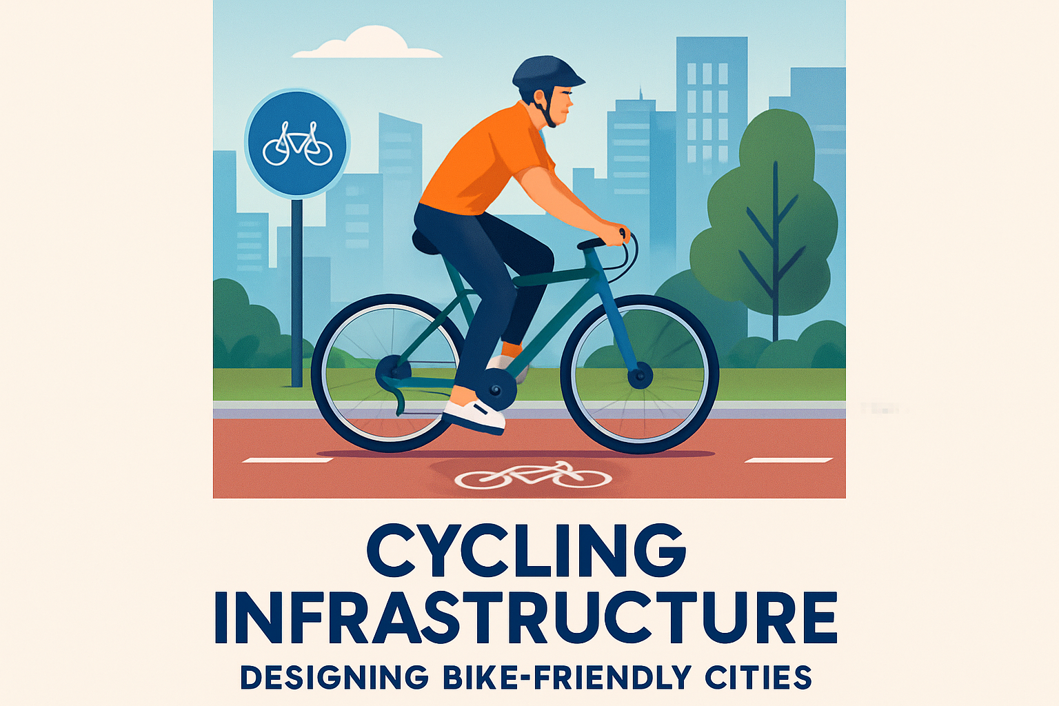
Intermodal redundancy is one of the strongest resilience tools available. If commuter rail stops, can buses absorb part of the load? If roads are blocked, can ferries move essential workers? If a bridge closes, are there safe bike routes and walkable neighborhood services that reduce total travel demand? Cities such as Amsterdam and Copenhagen benefit from high bicycle mode share not only for sustainability reasons but also because cycling provides a low-energy fallback mode when fuel supplies, transit operations, or road capacity are constrained. Freight matters as well. Urban resilience depends on keeping food, medical supplies, fuel, and waste collection moving through ports, warehouses, loading zones, and last-mile streets.
Operations, emergency management, and communication under pressure
Infrastructure alone does not deliver resilience. Operations determine whether good assets are used effectively during fast-moving events. Strong transport agencies run incident command structures, mutual aid agreements, detour playbooks, and tabletop exercises with police, fire, public works, utilities, ports, airports, school districts, and health systems. They define trigger points in advance: when to suspend rail, when to convert curb lanes to buses, when to waive fares, when to prioritize fuel deliveries, and when to shift to emergency schedules. These decisions should not be invented in the middle of a crisis.
Public communication is equally important. Riders need clear answers: What is running? What is closed? Which stations are accessible? Are fares suspended? Where are shuttle buses boarding? What should people without smartphones do? The best agencies use layered communication, combining apps, websites, station signage, SMS alerts, local radio, social media, call centers, and staff on the ground. Messages must be consistent and multilingual. During emergencies, vague advisories create dangerous behavior because travelers fill the information gap with rumors. Plain language performs better than jargon. “Bus bridge between Central and Harbor every ten minutes” is more useful than “expect residual service adjustments.”
Data and technology help when they are operationally grounded. Flood sensors, SCADA systems, GPS fleet tracking, digital twins, and predictive maintenance platforms can identify trouble early, but they require trained staff and fallback procedures. Cyber resilience is now part of mobility resilience because dispatch systems, payment platforms, signals, and customer information networks are digitally dependent. Agencies should segment critical networks, maintain offline procedures, and test restoration plans. A smart city that cannot function manually for twelve hours is not resilient. The most reliable systems combine automation with practiced human decision-making.
Equity, community trust, and recovery after the event
Disaster resilience does not end when floodwater recedes or power returns. Recovery determines whether communities regain access to jobs, schools, healthcare, and daily services. If transit lines in lower-income neighborhoods remain disrupted longer than premium commuter links, recovery becomes unequal by design. That is why resilient mobility planning must include restoration priorities, temporary service models, and community engagement before disasters occur. Residents know where drainage fails, where sidewalks disappear, which bus stops feel unsafe at night, and which intersections trap wheelchair users. Incorporating that lived knowledge improves technical planning.
Community trust affects compliance and outcomes. People are more likely to follow evacuation routes, board emergency shuttles, or accept temporary street changes when they believe agencies are competent and fair. Trust is built through routine service quality as much as emergency response. Agencies that communicate clearly during normal disruptions usually perform better in major disasters because the public already recognizes their channels and instructions. Fare policy can also support recovery. Temporary fare suspension, reduced-cost passes, and flexible paratransit rules help residents stabilize quickly after displacement or income loss.
For this miscellaneous hub within urban mobility and transportation, the central takeaway is that disaster resilience touches every transport topic: public transit, active transportation, freight, curb management, infrastructure finance, accessibility, climate adaptation, and digital operations. No single measure solves the problem. Cities need hardened assets, redundant modes, tested emergency operations, equitable planning, and transparent communication. Start with a vulnerability assessment of critical corridors and populations, then prioritize investments that keep the most people moving under the worst conditions. When urban mobility is planned for disruption instead of ideal weather, cities become safer, more functional, and faster to recover. Use this hub as your starting point and build a transport resilience agenda that is specific, funded, and practiced.
Frequently Asked Questions
Why is urban mobility so critical during and after a disaster?
Urban mobility becomes essential during a disaster because transportation systems are what allow a city to keep functioning when everyday routines are suddenly disrupted. Roads, sidewalks, bike lanes, buses, rail lines, ports, airports, and digital navigation tools all play a role in helping people evacuate danger zones, reach hospitals, access shelters, reunite with family, and obtain food, water, medicine, and other supplies. For emergency responders, mobility networks are the pathways that make rescue, firefighting, medical response, and utility restoration possible. If those pathways fail completely, the human and economic consequences of a disaster often become much worse.
After the immediate crisis, mobility remains just as important because recovery depends on movement. Workers need to reach job sites, repair crews need to access damaged infrastructure, businesses need deliveries, and residents need dependable ways to return to schools, clinics, and services. A resilient transportation system does not need to remain perfect in an emergency, but it does need to continue operating at some basic level under stress and recover quickly enough to support community stability. In that sense, urban mobility is not separate from disaster resilience; it is one of the main systems through which resilience is expressed in real life.
What makes a transportation system disaster-resilient?
A disaster-resilient transportation system is one that can absorb shocks, maintain essential operations, recover in a timely way, and improve based on what it learns from each disruption. This usually starts with redundancy, meaning a city does not rely too heavily on just one corridor, one transit mode, or one vulnerable facility. If a flooded highway, damaged bridge, or interrupted rail line can be backed up by alternate streets, bus lanes, ferry routes, protected walking paths, or coordinated logistics hubs, the city has a much better chance of staying connected under pressure.
Physical design is also a major factor. Resilient systems use stronger materials, elevated assets where needed, better drainage, slope stabilization, wind-resistant structures, and maintenance practices that reduce the risk of failure. Just as important are operational capabilities such as backup power for traffic signals and stations, real-time data sharing, emergency communications, flexible transit operations, and traffic management plans that can be activated quickly. Digital tools matter as well because trip-planning apps, control centers, and public information systems help people understand which routes are safe, which services are available, and where bottlenecks are forming.
Finally, resilience depends on governance and coordination. Transportation agencies, emergency managers, utilities, public health departments, freight operators, and community organizations all need to work from shared plans. A technically strong system can still perform poorly if decision-making is fragmented or if vulnerable neighborhoods are left out of planning. True resilience combines infrastructure, operations, technology, and inclusive policy so the network can serve the whole city when conditions are at their worst.
How do cities prepare mobility networks for floods, storms, earthquakes, and other disruptions?
Cities prepare by starting with risk assessment and then matching transportation investments to the hazards they actually face. In flood-prone areas, that may mean elevating critical road segments, protecting tunnels and stations from water intrusion, improving stormwater drainage, relocating electrical equipment, and ensuring evacuation routes remain passable. In regions exposed to hurricanes or severe storms, preparation often includes wind hardening for signals and transit facilities, backup communications systems, pre-positioning repair crews, and strategies to shut down and restart services safely. In seismic zones, bridges, overpasses, tunnels, and rail structures may require retrofits so they are less likely to collapse or suffer catastrophic damage during an earthquake.
Preparedness also involves operational planning, not just construction. Cities develop evacuation plans, designate emergency transit routes, map priority freight corridors, and create procedures for contraflow traffic where inbound lanes are temporarily reversed to support mass outbound movement. Transit agencies may plan in advance how buses can substitute for rail service, how paratransit can support medically vulnerable residents, and how real-time alerts will reach the public. Exercises and drills are especially important because they reveal where plans look good on paper but break down in practice.
Another major part of preparation is understanding people, not just infrastructure. Officials need to know which neighborhoods have lower car ownership, where older adults and disabled residents may need extra support, and which communities face language, income, or digital access barriers. A disaster-resilient mobility strategy works best when it combines engineering, emergency management, social equity, and public communication. The goal is not to prevent every disruption, which is impossible, but to reduce failure points and ensure the system can still serve critical needs under extreme conditions.
What role do public transit, walking, cycling, and digital tools play in disaster resilience?
Public transit, walking, cycling, and digital tools are often underestimated in resilience discussions, but they are central to a city’s ability to respond and recover. Public transit can move large numbers of people efficiently when roads are congested or fuel supplies are strained. Buses are especially valuable because they are flexible and can be rerouted around damaged corridors, deployed for evacuations, or used to connect shelters, hospitals, and distribution centers. Rail systems can also be vital where tracks and power remain intact, especially in dense urban areas where moving people by car alone is unrealistic.
Walking and cycling infrastructure matter because disasters frequently create short-distance access problems even when long-distance travel is limited. Safe sidewalks, crossings, and bike routes help residents reach local clinics, schools, relief points, and transit connections when motor vehicle travel is disrupted. They also provide options for neighborhoods where car ownership is low or where roads are blocked by debris. In resilience planning, these modes should not be treated as extras; they are practical, low-cost layers of redundancy that can keep communities connected.
Digital tools are the coordination layer that ties the whole system together. Real-time trip information, road closure maps, signal monitoring, vehicle tracking, emergency text alerts, and open data platforms help agencies and the public make informed decisions quickly. When digital systems are designed well, they improve situational awareness and reduce confusion. That said, cities also need backups because digital networks can fail during outages or cyber incidents. The strongest approach combines high-quality digital information with physical signage, radio communication, staffed help points, and community-based outreach so critical mobility information reaches everyone.
How can cities improve equity in disaster-resilient transportation planning?
Equity has to be built into disaster-resilient transportation planning from the beginning because disruptions rarely affect all residents in the same way. Low-income households, people with disabilities, older adults, immigrants, renters, and residents of historically underserved neighborhoods often have fewer transportation options and fewer resources to recover from interruptions. If a city’s emergency mobility plans assume universal car ownership, universal smartphone access, or the ability to work remotely, those plans will leave many people behind. Equitable resilience means recognizing these differences and designing transportation systems that support the people most at risk during a crisis.
In practical terms, that means prioritizing investments in neighborhoods with chronic infrastructure gaps, maintaining reliable transit access to hospitals and shelters, ensuring evacuation information is multilingual and accessible, and including paratransit and medical transport in emergency planning. It also means engaging communities directly before disasters happen so agencies understand local travel patterns, trusted communication channels, and barriers that may not be visible in technical models. Community-based organizations can be invaluable partners because they often know which residents will need transportation assistance first and where official plans may miss real-world conditions.
Equity also matters in long-term recovery. Rebuilding transportation assets should not simply restore previous vulnerabilities or widen existing inequalities. Cities should use recovery periods to improve sidewalk access, transit reliability, station accessibility, route redundancy, and service to essential destinations. When resilience planning is equitable, transportation systems do more than survive disasters; they help protect public health, preserve access to opportunity, and support a faster, fairer recovery for the entire city.