Designing efficient transportation corridors is one of the most practical ways cities and regions can improve mobility, reduce congestion, cut emissions, and support economic growth at the same time. A transportation corridor is a connected pathway that moves people or freight between origins and destinations using one or more modes, including roads, rail, bus rapid transit, bike networks, sidewalks, ports, and logistics facilities. Efficiency in this context does not simply mean moving the greatest number of vehicles. It means moving the greatest number of people and goods reliably, safely, affordably, and with the least avoidable delay or environmental harm.
I have worked on corridor studies where a seemingly simple road widening proposal failed because the real constraint was not lane count but poorly timed intersections, unsafe pedestrian crossings, curbside friction from deliveries, and land use that generated short car trips for needs that could have been met on foot. That experience is common in transportation planning. Corridors succeed when they are treated as systems rather than strips of pavement. The best designs integrate travel demand, operations, street design, transit priority, freight access, resilience, and governance from the beginning.
This matters because corridor decisions shape daily life for decades. A well-designed corridor can reduce travel time variability, expand job access, increase road safety, and make development patterns more productive. A poorly designed one can lock in congestion, sever neighborhoods, raise household transportation costs, and create expensive maintenance burdens. The core terms are straightforward. Capacity is the amount of movement a corridor can handle in a given time. Throughput is how many people or tons actually move. Level of service measures operating conditions, but by itself it often overvalues vehicle speed. Accessibility is the ease of reaching destinations, and in modern corridor design it is usually a better outcome measure than speed alone.
Start with corridor purpose, users, and measurable outcomes
The first step in designing an efficient transportation corridor is to define what the corridor is for and who it must serve. Every corridor carries a different mix of commuters, local shoppers, school trips, emergency vehicles, transit riders, cyclists, pedestrians, and freight. Treating all corridors as generic arterials leads to weak design choices. A suburban freight connector near warehouses needs different operating priorities than a main street lined with apartments, schools, and retail. The right question is not, “How do we move cars faster?” but, “What movement function and place function should this corridor balance?”
In practice, that means setting performance measures before sketching physical changes. For passenger corridors, common measures include person throughput, transit travel time, intersection delay, safety performance, sidewalk continuity, and access to jobs within a 30- or 45-minute trip. For freight corridors, planners often track truck reliability, bottleneck delay, bridge clearance, turning radii, pavement condition, and first-mile or last-mile access to terminals. Agencies such as the Federal Highway Administration, the National Association of City Transportation Officials, and the Institute of Transportation Engineers provide established guidance on selecting these metrics and tying them to design decisions.
Good corridor scoping also accounts for induced demand and latent demand. Adding general-purpose road capacity can reduce congestion briefly, then attract more driving and shift trip timing or route choice until delay returns. By contrast, improving bus speed with dedicated lanes and off-board fare collection often increases person throughput without requiring wider rights-of-way. On a corridor I evaluated with peak bus crowding and heavy left-turn delays, transit signal priority and queue jumps delivered a more durable benefit than lane expansion would have. The lesson is consistent: define outcomes around people, reliability, and access, then choose the tools that best achieve them.
Use data to diagnose bottlenecks before prescribing projects
Efficient corridor design depends on diagnosis, not intuition. Travel time runs, turning movement counts, origin-destination data, collision reports, curb occupancy surveys, transit boarding data, and freight GPS traces reveal where delays actually occur and why. Too many projects still begin with a visible symptom, such as peak-hour queuing, then jump straight to a capital fix. A better approach separates recurring congestion from nonrecurring congestion caused by crashes, weather, special events, railroad crossings, school activity, or bad signal coordination. If the causes differ, the solutions must differ as well.
Today, agencies can combine traditional traffic counts with probe vehicle data from providers such as INRIX, StreetLight, TomTom, or Replica, plus General Transit Feed Specification and automatic passenger counter data for transit. Safety analysis should go beyond crash totals to examine severity, exposure, conflict points, and speed profiles. A corridor with fewer crashes but higher fatality risk may need narrower lanes, median refuges, leading pedestrian intervals, or protected bike facilities. Freight analysis should map delivery windows, curbside loading turnover, axle loads, and vertical clearance constraints, because a single low bridge or poorly managed loading zone can undermine an entire truck route.
Data is most useful when translated into a simple operating picture. The table below shows the kind of corridor screen I use during early planning to connect symptoms with likely interventions.
| Observed issue | Typical cause | Effective response |
|---|---|---|
| Buses delayed at intersections | Signal delay and curbside blockage | Transit signal priority, bus lanes, stop consolidation |
| Truck queues near terminals | Gate processing and turn restrictions | Appointment systems, geometric redesign, managed access |
| High pedestrian injury rate | Long crossings and high speeds | Median islands, tighter corners, shorter cycle lengths |
| Unreliable travel times | Incidents and poor coordination | Incident management, adaptive signals, shoulder use |
| Retail frontage congestion | Pickup and delivery conflicts | Curb management, loading zones, pricing, micrologistics |
This type of structured diagnosis prevents overbuilding and helps agencies defend choices publicly. It also improves funding competitiveness because grant programs increasingly reward projects that present clear problem statements, quantified need, and measurable outcomes.
Match corridor design to land use, mode hierarchy, and street context
No transportation corridor performs well when its design fights surrounding land use. Corridors serving dense mixed-use districts should usually prioritize walking, transit, and short local access because many trips begin or end within a small area. Corridors connecting industrial districts, inland ports, or agricultural processors may need stronger truck accommodation, access control, and pavement design. The concept planners often use is context-sensitive design: align geometry, speeds, and access management with the corridor’s surrounding activity pattern rather than applying one default template everywhere.
A useful way to think about this is mode hierarchy. In a central business district, the hierarchy may place pedestrians first, then transit, then cycling and deliveries, with private cars receiving the remaining space. On a regional connector, priority may shift toward high-occupancy vehicles, express bus, and freight reliability. This hierarchy should be explicit because cross section decisions are always tradeoffs. A lane assigned to parking cannot also serve a peak-hour bus lane. A wide curb radius that helps a turning truck can also increase pedestrian exposure unless paired with tighter crossing geometry or a mountable design.
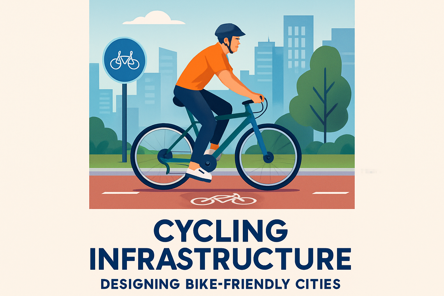
Street design details matter. Access management, such as consolidated driveways, raised medians, and coordinated turn pockets, can improve corridor flow and reduce crash risk without major widening. Signal spacing and progression can either support smooth movement or create stop-and-go waves that waste fuel and frustrate users. Complete Streets principles are valuable, but they work only when adapted carefully. Painting a bike lane beside fast, high-volume traffic without physical protection is often inadequate. Likewise, adding transit priority without high-quality stops, shelters, and safe crossings leaves much of the benefit unrealized. Efficient corridors are built from coherent packages, not isolated treatments.
Prioritize operations, reliability, and maintenance before expansion
One of the most overlooked truths in transportation is that operations often outperform expansion on cost-effectiveness. Agencies can unlock substantial corridor gains through signal retiming, adaptive control, coordinated incident response, lane assignment changes, ramp metering, reversible operations, queue warning systems, and better curbside rules. These interventions are less glamorous than a new flyover, but they usually deploy faster, cost less, and preserve flexibility if travel patterns change. In mature urban networks, reliability improvements are often worth more to users than small reductions in average travel time.
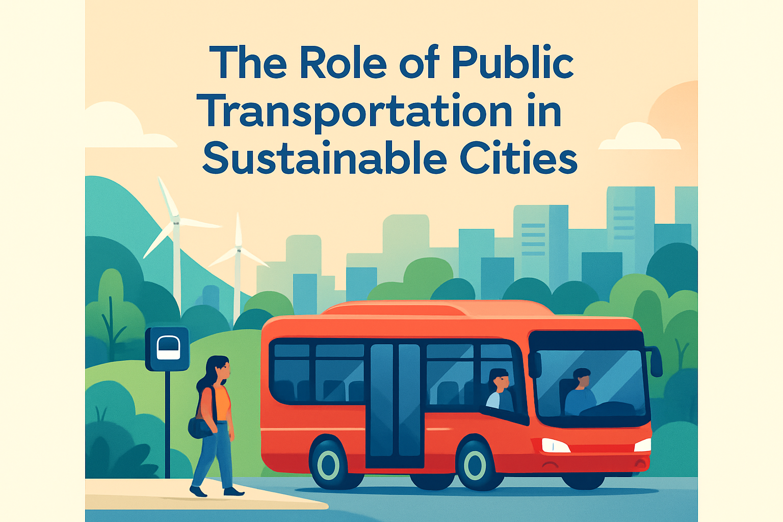
Transit operations deserve special attention because they can multiply corridor capacity. A standard traffic lane may carry roughly 600 to 1,600 people per hour depending on occupancy and conditions, while a bus lane with frequent service can carry several thousand. The exact number varies, but the planning implication is clear: dedicated transit space can move more people than mixed traffic in the same width. Features such as all-door boarding, off-board payment, level boarding, and passing lanes at major stops can further improve speed and dwell time. Cleveland’s HealthLine and Bogotá’s TransMilenio, despite different urban contexts, both demonstrate how operational priority can reshape corridor performance.
Maintenance is just as important as operations. Pavement roughness increases vehicle wear, poor drainage accelerates asset failure, and faded markings reduce compliance and safety. For freight corridors, pavement structure and bridge condition can be decisive because heavy vehicles impose disproportionately high wear. Asset management standards from organizations such as AASHTO emphasize life-cycle cost, not just initial construction price. In practical terms, a corridor is not efficient if it performs well only for two years and then degrades because maintenance funding was ignored. Design choices should therefore account for long-term operating cost, replacement cycles, and climate exposure from the start.
Build safety, resilience, and freight performance into every corridor
Safety is not a side objective. It is a core measure of efficiency because severe crashes create immense human loss and major system disruption. Modern safe-system practice assumes people will make mistakes and designs the corridor so those mistakes are less likely to be fatal. That means managing speed through geometry, limiting conflict points, protecting vulnerable users, improving sight lines, and reducing crossing distance. On multilane arterials, road diets have repeatedly shown that converting excess lane capacity into turn lanes, medians, bike facilities, or transit priority can reduce crashes while preserving acceptable throughput.
Resilience is now equally essential. Corridors face flooding, extreme heat, wildfire smoke, freeze-thaw cycles, and utility disruptions. Designing for resilience may involve elevating vulnerable segments, increasing culvert capacity, using heat-tolerant materials, protecting signal cabinets, creating redundant routes, and ensuring backup power for critical intersections or transit stations. Ports and freight corridors especially need continuity planning because a single disruption can ripple through supply chains. The COVID period made this visible to everyone, but the lesson applies more broadly: corridor efficiency includes the ability to recover quickly from shocks.
Freight performance should be integrated, not treated as an afterthought. Urban goods movement now includes parcel vans, grocery delivery, construction traffic, service fleets, and heavy trucks sharing constrained curb space. Efficient corridors support freight through designated loading zones, time-of-day management, truck-friendly signal timing where appropriate, clear wayfinding, and terminal access coordination. In dense districts, microhubs and cargo bikes can reduce van churn for the final segment of delivery. In industrial areas, protected intersections and separated facilities can still improve safety for cyclists without compromising truck operations if turning templates are designed correctly. The strongest corridors acknowledge that passenger mobility and freight mobility must coexist.
Governance, funding, and public trust determine whether corridor plans survive
Even technically strong corridor designs fail when governance is fragmented. A single corridor may involve a city street department, a state highway agency, a transit operator, a freight railroad, a port authority, utility owners, and private developers. Each controls pieces of the puzzle, and each has different timelines and incentives. Successful corridor programs create a shared governance structure early, with clear decision rights, memoranda of understanding, and agreed performance targets. Without that discipline, agencies optimize segments rather than systems, and bottlenecks simply move from one jurisdiction to the next.
Funding strategy matters just as much. Capital grants often favor visible construction, but many of the best corridor improvements require operating funds for signal maintenance, transit service, curb enforcement, or data systems. A realistic corridor plan identifies near-term operational fixes, medium-term redesign projects, and long-term capital phases, each tied to likely funding sources. It also explains tradeoffs openly. Removing parking for a bus lane may improve access for thousands of daily riders while affecting some merchants. The answer is not to avoid the decision but to pair it with loading plans, wayfinding, side-street parking management, and evidence from before-and-after studies.
Public trust grows when agencies explain corridor choices in plain language and report results after implementation. Publish baseline conditions, expected benefits, and actual outcomes. If bus travel time improved by 18 percent, say so. If a signal strategy reduced side-impact crashes but increased side-street delay, say that too. Transparent monitoring is how corridor planning matures from one-off projects into a durable mobility program. For cities building an urban mobility and transportation strategy, efficient transportation corridors are the connective tissue. Audit your priority corridors, define outcomes, fix operations first, and invest where the data shows the greatest return.
Frequently Asked Questions
What is a transportation corridor, and what makes one efficient?
A transportation corridor is a connected route or network that moves people, goods, or both between key origins and destinations. It can include highways, arterial roads, rail lines, bus rapid transit, bike lanes, sidewalks, freight terminals, ports, and logistics hubs that function together as a mobility system rather than as isolated assets. An efficient corridor is not simply one that allows the highest vehicle speeds or carries the most cars. Instead, it is designed to move the greatest overall number of people and the most valuable freight reliably, safely, affordably, and with minimal environmental impact.
In practice, efficiency comes from balancing multiple performance goals. A well-designed corridor reduces travel time variability, improves access to jobs and services, supports freight movement, and lowers congestion by giving users viable modal choices. It also makes better use of limited land and infrastructure budgets through coordinated planning, intersection design, signal timing, transit priority, access management, and multimodal connections. The most successful corridors are those that match the right modes to the right travel demands, ensuring that short local trips, regional commutes, and freight movements are each handled in ways that improve the performance of the system as a whole.
Why is multimodal planning so important when designing efficient transportation corridors?
Multimodal planning is essential because transportation demand is diverse, and no single mode can serve every trip efficiently. When corridors are planned around cars alone, the system often becomes vulnerable to congestion, high maintenance costs, emissions growth, and limited access for people who do not drive. A multimodal corridor, by contrast, integrates options such as rail, buses, bike infrastructure, sidewalks, and freight facilities so that each mode supports specific trip types and user needs. This creates a more resilient and flexible transportation system that can handle growth without relying exclusively on road expansion.
It also improves corridor performance in measurable ways. Public transit can move large numbers of people in less space than private vehicles, while walking and cycling infrastructure can efficiently serve short trips and first-mile and last-mile connections. Freight routes and logistics facilities can be separated or managed in ways that reduce conflicts with passenger traffic. By designing these elements together, planners can reduce bottlenecks, improve safety, and expand access to employment, education, and commerce. Multimodal planning is especially valuable in urban and regional settings where land is constrained and demand patterns vary throughout the day. The result is a corridor that serves more users more effectively while supporting broader economic, environmental, and equity goals.
How do planners reduce congestion in a transportation corridor without just adding more lanes?
Reducing congestion without continuous road widening requires a combination of operational improvements, demand management, and strategic investment in alternatives. One of the first steps is understanding where congestion actually comes from. In many corridors, recurring delays are caused less by a lack of lane capacity and more by poorly timed signals, closely spaced driveways, unsafe turning movements, unreliable transit operations, inefficient freight access, and bottlenecks at interchanges or intersections. Addressing these issues through better traffic management, signal coordination, access control, dedicated turn lanes, and intelligent transportation systems can often produce significant performance gains at lower cost than major expansion projects.
Another important strategy is shifting some trips to more space-efficient modes and times. Bus rapid transit, commuter rail, park-and-ride systems, protected bike networks, and pedestrian improvements can reduce pressure on roadways by giving travelers attractive alternatives. Demand management tools such as congestion pricing, managed lanes, employer commute programs, and staggered work hours can spread demand more evenly across the day. Corridor design can also prioritize reliability rather than maximum speed, which is especially important for transit and freight operators. When planners combine operational fixes with land use coordination, multimodal investment, and targeted capacity upgrades only where they are truly needed, they create corridors that perform better over the long term instead of simply inducing additional traffic.
What role do sustainability and emissions reduction play in corridor design?
Sustainability is now a core objective in corridor design because transportation systems have major impacts on air quality, energy use, public health, land consumption, and climate emissions. An efficient corridor can reduce these impacts by shortening travel times, minimizing stop-and-go conditions, improving freight reliability, and making low-emission modes more practical and attractive. Transit priority, electrified rail, active transportation infrastructure, cleaner vehicle technologies, and better connections between land use and mobility systems all contribute to lower emissions per trip and per ton of freight moved.
Good corridor design also supports sustainability beyond tailpipe emissions. It can reduce runoff through improved drainage and green infrastructure, preserve land by focusing growth around existing networks, and increase community resilience by diversifying travel options. For example, a corridor that includes sidewalks, bike facilities, and reliable transit is less dependent on one mode and better able to function during fuel price spikes, severe weather events, or network disruptions. Sustainable corridor design is therefore not just about environmental compliance. It is about creating transportation systems that are durable, cost-effective, healthy, and adaptable over time while still supporting mobility and economic productivity.
How do cities and regions measure whether a transportation corridor is actually performing well?
Measuring corridor performance requires more than looking at average vehicle speed or daily traffic volume. Those traditional metrics can miss whether the corridor is delivering reliable mobility, safe access, and economic value across different user groups. A more complete evaluation includes person throughput, freight throughput, travel time reliability, safety outcomes, transit travel times, on-time performance, access to jobs and services, emissions levels, and first-mile and last-mile connectivity. These indicators help planners understand whether the corridor is moving people and goods efficiently, not just whether cars are moving quickly at certain times of day.
Performance measurement should also account for context and policy goals. In a downtown urban corridor, success may mean high transit ridership, strong pedestrian safety, and efficient curb management. In a regional freight corridor, it may mean dependable truck travel times, reduced rail conflicts, and faster goods movement to ports or distribution centers. Equity is another critical factor, since a corridor should serve a broad range of users, including lower-income households, older adults, people with disabilities, and communities that have historically been underserved by transportation investment. The best agencies use ongoing data collection, modeling, public feedback, and before-and-after evaluations to refine corridor design over time. That continuous measurement process helps ensure the corridor remains effective as travel patterns, land use, technology, and economic conditions evolve.