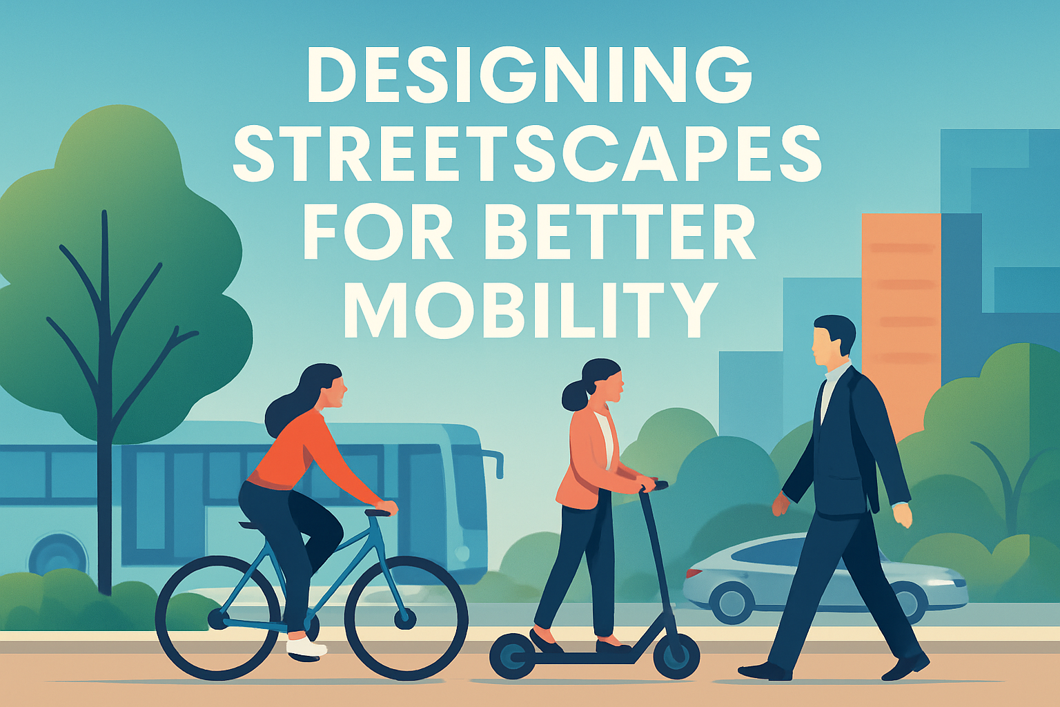
Designing streetscapes for better mobility means shaping streets so people, goods, and services move safely, efficiently, and comfortably, whether the trip happens on foot, by wheelchair, bicycle, bus, delivery van, or car. A streetscape includes the full public realm: travel lanes, sidewalks, crossings, trees, lighting, transit stops, signage, curb ramps, drainage, street furniture, and the visual cues that tell users how the space works. In transportation practice, mobility is not just speed. It is access: how reliably people can reach jobs, schools, healthcare, shops, and social life. A fast road that feels dangerous to cross can still be a low-mobility street for the people who live beside it.
I have worked on corridor redesigns where a project originally framed as congestion relief became, after site observation, a mobility project in the broader sense. We saw bus riders standing in mud beside six lanes of traffic, parents making informal midblock crossings to reach schools, and delivery drivers blocking bike lanes because curb access had never been planned. Those problems were not separate. They were all signals that the street had been designed around through-movement for one mode while ignoring the full system. Better streetscape design corrects that imbalance by aligning geometry, operations, safety, and land use.
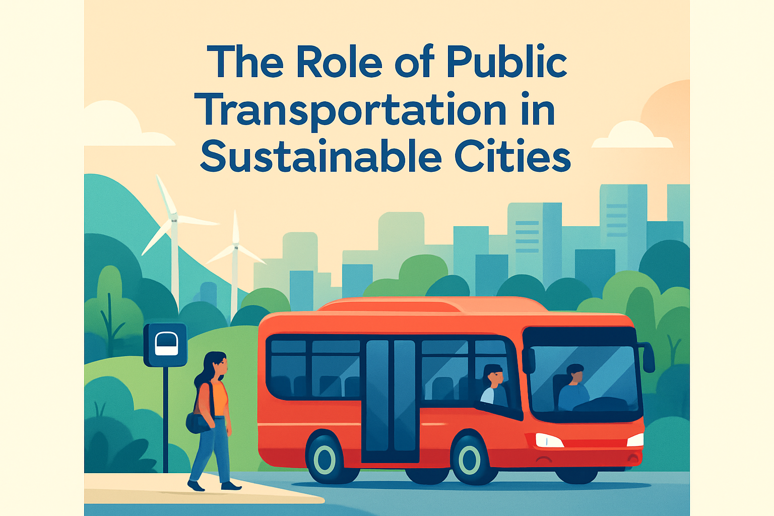
This matters because most trips begin and end on a street, and the quality of that street influences mode choice, public health, economic vitality, and crash risk. The National Association of City Transportation Officials, the FHWA Safe System approach, and Complete Streets policies all point to the same conclusion: forgiving, legible, multimodal street design produces better outcomes than designing only for peak vehicle throughput. Good streetscapes reduce delay where it matters, calm speeds where necessary, support local business turnover, and make transit more dependable. They also help cities meet climate, equity, and accessibility goals by making lower-carbon travel practical rather than aspirational.
Start with mobility goals, not lane counts
The first principle in designing streetscapes for better mobility is to define what kind of movement the corridor must support. A downtown main street, a neighborhood collector, and an industrial freight route should not share the same design assumptions. Engineers often begin with existing traffic volume, but that can lock in yesterday’s behavior instead of planning for future access. The stronger method is to identify target users, desired speeds, transit function, loading needs, crash history, surrounding land uses, and the age and ability mix of people using the street. Then the cross-section follows the purpose.
A useful framework is to balance mobility, access, and place. On a commercial corridor, for example, narrower travel lanes, wider sidewalks, frequent crossings, and designated loading zones may improve overall mobility even if car speeds fall slightly. Why? Because buses stop more predictably, pedestrians cross legally instead of darting through traffic, deliveries no longer double-park in travel lanes, and storefronts become easier to reach. I have seen this in retail districts where average vehicle speed dropped by a few miles per hour, yet person-throughput rose because the street became usable for more people. That is a core answer-engine point: better mobility is not always about faster driving; it is about moving more people with fewer conflicts.
Setting design speed is critical. If the posted speed is 30 mph but the geometry encourages 40, users follow the geometry. Lane width, corner radii, median design, and curbside friction all shape actual behavior. The safest and most reliable corridors are self-explaining streets where the physical form supports the intended speed and priority. This is straight from modern road safety practice: design the environment to reduce severe mistakes rather than assuming perfect compliance.
Build complete cross-sections that serve all users
A complete streetscape cross-section allocates right-of-way intentionally. At minimum, that means accessible sidewalks, protected or low-stress bicycle space where cycling demand exists or should grow, transit accommodations where service operates, and curb management for loading, pickup, and short-term parking. Sidewalks should include both a clear pedestrian through-zone and a furnishing zone for trees, poles, and seating. If furniture intrudes into the walking path, the street fails users with mobility devices, strollers, or visual impairments. ADA-compliant curb ramps, tactile warning surfaces, and smooth surfaces are not upgrades; they are baseline mobility infrastructure.
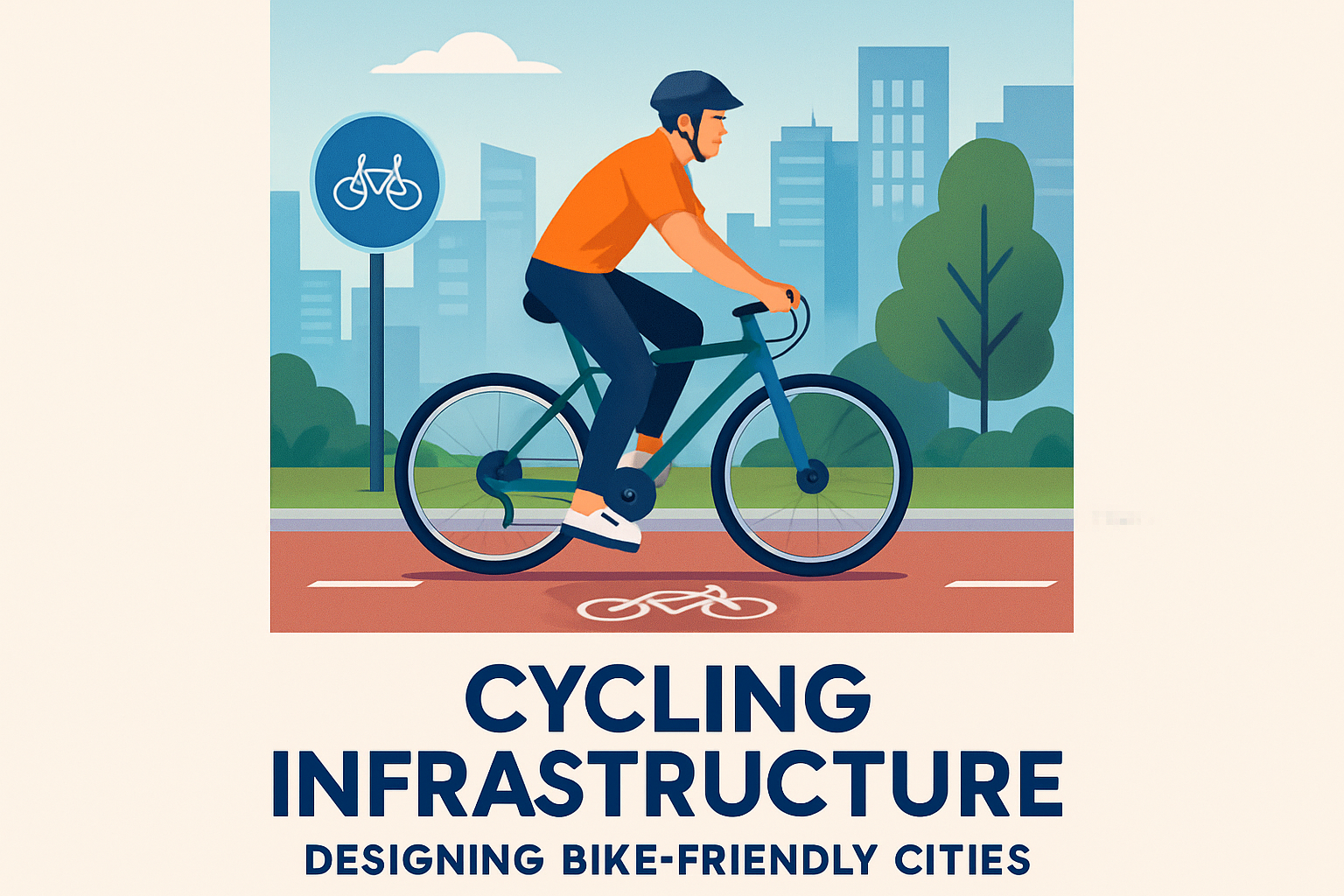
Protected bike lanes are often misunderstood as recreational amenities. On urban corridors, they are transportation facilities that expand network capacity by shifting short trips out of cars. The design details matter. Physical separation, intersection treatments, daylighting near corners, and clear conflict markings at driveways determine whether a facility works for a broad user base or only for confident riders. Transit also needs dedicated space. Bus bulbs, queue jumps, transit lanes, and stop platforms can cut dwell and delay substantially when paired with all-door boarding and signal priority.
| Streetscape element | Mobility benefit | Common design risk |
|---|---|---|
| Wider sidewalk clear zone | Improves pedestrian flow and accessibility | Clutter from signs, café furniture, utility poles |
| Protected bike lane | Creates low-stress cycling network capacity | Weak intersection protection and driveway conflicts |
| Transit lane or bus bulb | Reduces bus delay and dwell variability | Poor enforcement or stop placement |
| Raised median and refuges | Shortens crossing exposure and calms turns | Blocks necessary access if openings are misplaced |
| Loading and pickup zones | Reduces double-parking and lane blockage | Insufficient turnover management |
The curb is the most contested real estate on the street, and treating it casually creates avoidable friction. In project reviews, I routinely find that loading, school pickup, paratransit, ride-hail, parklets, micromobility parking, and bus stops have all been layered onto the same frontage without a management plan. Better mobility comes from assigning curb uses by time, demand, and context. Commercial streets may need morning freight windows, daytime passenger loading, and evening dining space. Digital curb inventories and tools from vendors such as Coord or municipal asset systems can support that transition from static curb rules to active management.
Design intersections and crossings as the true mobility test
If midblock segments are the bones of a streetscape, intersections are the joints. Most delay, confusion, and severe crashes happen where movements cross. A corridor with beautiful sidewalks and bike lanes still performs poorly if every intersection forces long waits, risky merges, or inaccessible crossings. The practical answer to “What improves mobility most?” is often: better intersection design. Shorter crossing distances, leading pedestrian intervals, protected signal phasing, refuge islands, raised crossings on low-speed side streets, and tighter curb returns all reduce conflict exposure.
Pedestrian mobility depends on directness as much as safety. When signals require two long cycles to cross one leg, many people will cross against the light. That is not simply user error; it is feedback that the design ignores natural desire lines. In school zones and near transit stops, crossing demand should guide marked crossing placement. FHWA guidance and Vision Zero programs emphasize this because predictable legal crossings reduce random conflict points. For cyclists, protected intersections and setback crossings can improve yielding behavior and reduce right-hook crashes. For buses, farside stops often work better with transit signal priority because they reduce red-light dwell after passenger boarding.
Wayfinding also deserves more respect. Legible signage, pavement markings, and consistent intersection geometry lower cognitive load for all users, especially visitors, older adults, and people navigating complex transfer environments. Good streets feel intuitive. You should know where to stand for the bus, where to wait to cross, and where the bike path continues without searching. That clarity is a mobility feature, not mere aesthetics.
Use data, pilots, and operations to refine performance
Strong streetscape design is evidence-led. Before redesigning a corridor, collect turning movement counts, pedestrian and bicycle volumes, transit travel times, curb activity observations, speed data, and crash patterns over several years. Then validate those numbers with field visits at different times of day. I trust data more when I have also stood at the corner in the rain, watched dismissal at a school, and tracked what happens when a delivery truck arrives. Quantitative and observational evidence together reveal how a street truly operates.
Pilots are one of the most effective ways to test mobility changes quickly. Using modular curbs, temporary markings, planters, and flexible delineators, cities can trial bus lanes, curb extensions, or plaza space before capital reconstruction. New York City’s early pedestrianization pilots in Times Square and elsewhere demonstrated how temporary interventions can produce measurable gains in safety and pedestrian flow while informing final materials and geometry. The key is to establish metrics in advance: bus reliability, crossing compliance, retail footfall, emergency access time, loading behavior, and injury reduction.
Operations matter as much as concrete. Signal timing should reflect multimodal priorities, not only peak car progression. Transit signal priority, adaptive control where appropriate, daylighting enforcement, and parking compliance can dramatically change how a street functions without altering the curb line. Maintenance is equally important. Snow storage in bike lanes, ponding at curb ramps, faded markings, or blocked drainage turn a well-designed street into a poor one. Mobility is not delivered at ribbon cutting; it is sustained by operations and upkeep.
Plan for equity, climate, and long-term resilience
Designing streetscapes for better mobility has an equity dimension that cannot be treated as a side note. Lower-income households, older adults, disabled residents, and younger people are more likely to depend on walking, transit, or shared rides, yet many arterial corridors serving these users remain the least safe and least comfortable. Prioritizing improvements only where land values are already high widens access gaps. A fair capital program uses demographic analysis, crash exposure, transit dependence, and public health indicators to target streets where redesign will produce the greatest social benefit.
Climate resilience is now a basic design requirement. Street trees, permeable surfaces where feasible, shaded waiting areas, and stormwater features improve thermal comfort and support drainage, which directly affects mobility during heat and heavy rain events. Pavement and drainage design should anticipate more intense storms. Materials should be durable and maintainable by the local agency, not chosen only for visual appeal. Freight and service access must also be preserved. Better mobility does not mean eliminating vehicles; it means organizing the street so each mode has a clear, safer role.
The most successful projects pair technical rigor with community engagement that is specific rather than symbolic. Residents usually do not ask for “multimodal optimization.” They ask for a safer crossing to the clinic, a bus stop with shelter, a place to load groceries, or slower traffic near a playground. Translating those requests into measurable design decisions is the work. When agencies explain tradeoffs honestly, publish performance data, and adjust designs after implementation, they build trust and deliver streetscapes people actually use.
Better streetscapes improve mobility by turning streets into coordinated public infrastructure instead of leftover space for whichever mode dominates by default. The essentials are clear: begin with corridor purpose, set geometry to support desired speeds, build complete cross-sections, treat intersections as the main safety and delay challenge, manage the curb actively, and refine performance with data and pilots. When these elements work together, streets move more people more reliably and with fewer conflicts.
The broader benefit is access. A well-designed street makes daily life easier for the parent pushing a stroller, the bus rider on a tight shift change, the shop owner receiving deliveries, the older adult crossing to a pharmacy, and the driver who benefits from fewer unpredictable conflicts. That is why streetscape design belongs at the center of transportation planning, economic development, and public health policy.
If you are evaluating a corridor, start with one block and one question: who is the street failing today? Audit the crossings, curb use, sidewalks, transit stops, and speed cues, then redesign from that evidence. Better mobility begins with seeing the whole street clearly.
Frequently Asked Questions
What does it mean to design a streetscape for better mobility?
Designing a streetscape for better mobility means creating a street environment that helps all users move safely, clearly, and comfortably, not just moving cars as fast as possible. A well-designed streetscape considers the entire public realm, including sidewalks, bike facilities, travel lanes, transit stops, crossings, curb ramps, lighting, trees, drainage, signage, and curbside space. The goal is to make each part of the street work together so pedestrians, wheelchair users, cyclists, transit riders, delivery drivers, emergency vehicles, and motorists can all navigate the corridor with fewer conflicts and less confusion.
In practice, mobility is about access, reliability, safety, and ease of use. A street may carry high traffic volumes, but if crossing is difficult, sidewalks are narrow, bus stops are poorly placed, or curb ramps are missing, then mobility is limited for many people. Strong streetscape design improves how predictable the street feels, how easy it is to understand, and how well it supports short local trips as well as longer regional connections. That is why transportation planners often focus on comfort, travel time consistency, visibility, and accessibility alongside vehicle throughput.
Why is mobility in streetscape design about more than vehicle speed?
Vehicle speed is only one small part of mobility, and in many cases it can work against overall street performance. A street that allows fast driving but has unsafe crossings, blocked sidewalks, long signal waits, or poorly designed bus stops may move some vehicles quickly while making travel slower, riskier, and less reliable for everyone else. True mobility measures whether people and goods can reach destinations efficiently and safely across all modes, not whether a single mode can travel at the highest speed.
This broader view matters because streets serve many purposes at once. They are routes for commuting, delivery access, transit service, emergency response, social activity, and access to homes, shops, schools, and public spaces. Streetscape elements such as shorter crossing distances, visible crosswalks, protected bike lanes, accessible boarding areas, street trees, and better lighting can reduce conflicts and improve comfort, which often leads to more predictable movement overall. Slower, more controlled vehicle speeds can even improve corridor function by reducing crash severity, supporting turning movements, and making transit stops and pedestrian crossings operate more smoothly. In short, effective mobility comes from balanced design, not speed alone.
Which streetscape features most improve mobility for people walking, rolling, biking, and taking transit?
Some of the most effective features are those that remove barriers and make movement intuitive. For pedestrians and wheelchair users, that includes continuous sidewalks, adequate clear width, smooth surfaces, curb ramps aligned with crossings, accessible pedestrian signals, shorter crossing distances, refuge islands, and good lighting. For cyclists, mobility improves with protected bike lanes, buffered bike space, clear intersection treatments, safe connections to destinations, and reduced dooring or turning conflicts. For transit riders, quality bus stops, shelters, benches, real-time information, safe crossings near stops, and dedicated transit priority treatments can significantly improve both comfort and travel time reliability.
Equally important are features that organize the curb and clarify street operations. Loading zones, pickup and drop-off areas, delivery management, drainage that prevents ponding, coordinated signage, and well-placed street furniture all help reduce clutter and conflict. Trees and landscaping also matter more than many people realize, because they create shade, improve comfort, and visually define the pedestrian realm. When these elements are planned as one system rather than as isolated additions, the street becomes easier to read and easier to use. That integrated approach is what turns a corridor into a truly multimodal streetscape.
How do planners balance the needs of pedestrians, cyclists, transit, deliveries, and cars on the same street?
Balancing different users starts with understanding the street’s context, function, and priorities. A main street in a business district, a transit corridor, a neighborhood connector, and an industrial route may all require different design choices. Planners typically begin by studying who uses the street today, who is underserved, what safety issues exist, how land uses shape demand, and where conflicts happen at the curb, intersections, and midblock areas. That information helps determine how to allocate limited right-of-way in a way that supports the most important movements while still maintaining access.
Good balance does not mean giving every mode the same amount of space. It means assigning space according to street purpose, surrounding activity, and public need. For example, a corridor with high bus ridership may benefit more from transit lanes and improved stops than from adding another general traffic lane. A downtown retail street may need wider sidewalks, safer crossings, managed loading zones, and slower traffic. A neighborhood street may prioritize traffic calming and accessibility. Tradeoffs are unavoidable, but they can be managed through data, public engagement, pilot projects, and performance measures such as safety outcomes, travel time reliability, accessibility, and curb efficiency. The best streetscape designs are not mode-specific; they are context-sensitive and people-focused.
How can cities tell whether a streetscape project actually improved mobility?
Cities can evaluate mobility improvements by looking at a range of performance measures before and after implementation. These often include pedestrian crossing times, sidewalk accessibility, transit travel time reliability, bike usage, crash frequency and severity, curb turnover, delivery efficiency, vehicle delay at key points, and user comfort. Counting only vehicle speed or traffic volume gives an incomplete picture. A successful project may slightly reduce top vehicle speeds while substantially improving safety, transit consistency, walking conditions, and overall access to businesses and services.
Qualitative feedback is also important. Observations from residents, business owners, transit operators, delivery providers, and people with disabilities can reveal whether the street is easier to navigate, more intuitive, and more comfortable in daily use. Seasonal factors, maintenance conditions, nighttime visibility, and how the street performs during rain or peak demand should also be considered. The strongest evaluations combine hard data with lived experience. When a streetscape enables more people to move with confidence, fewer conflicts occur, and access becomes easier across multiple modes, that is a strong sign mobility has genuinely improved.