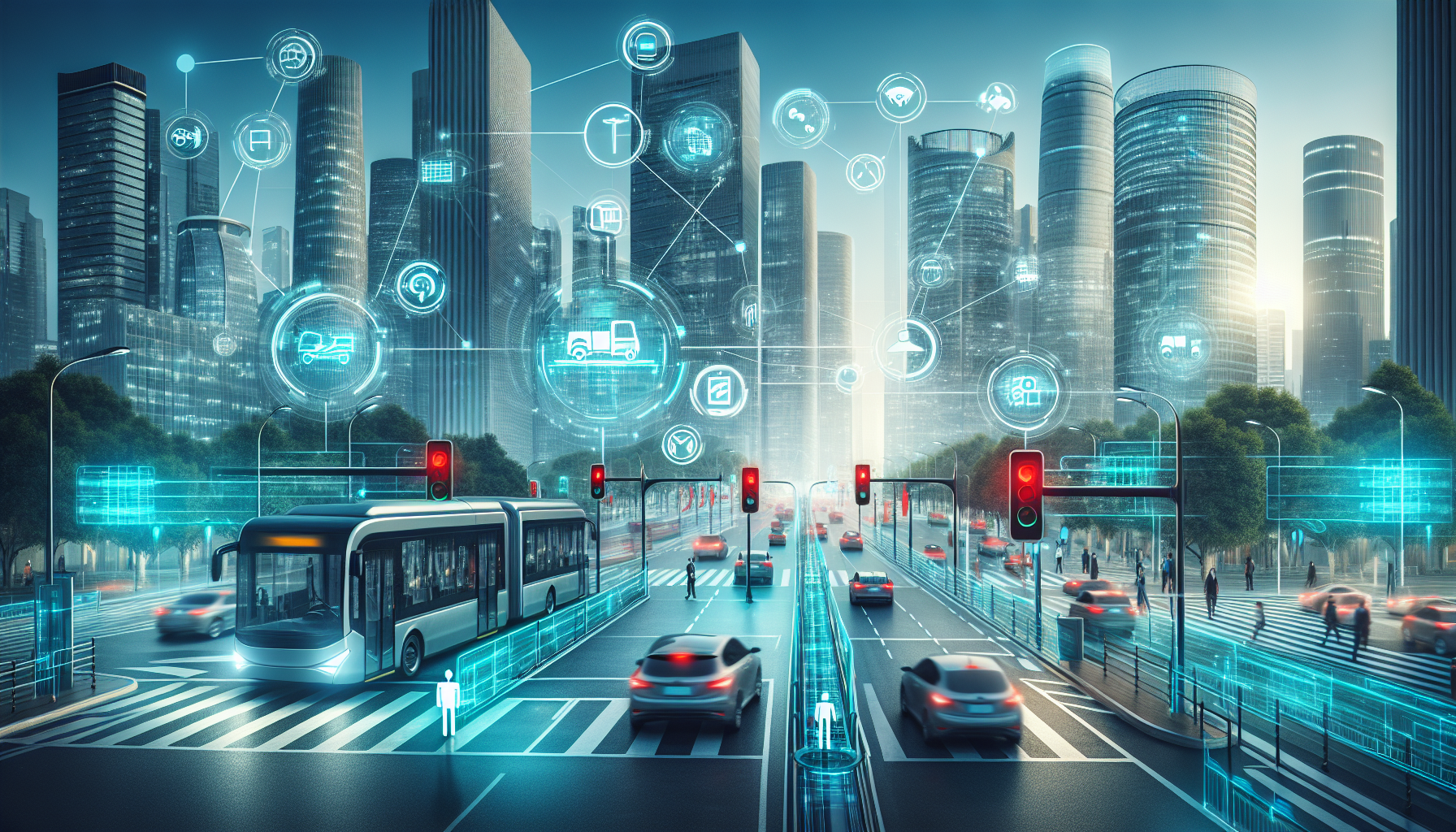
Smart infrastructure is reshaping urban mobility by connecting roads, vehicles, public transport, utilities, and digital services into a coordinated system that moves people and goods more efficiently. In city planning, smart infrastructure refers to physical assets enhanced with sensors, connectivity, software, and data-driven controls. Urban mobility covers how residents travel through a city by car, bus, rail, bicycle, scooter, on foot, or through shared and on-demand services. I have worked on transport content and reviewed city mobility programs closely enough to see the pattern: when infrastructure becomes measurable and responsive, travel becomes safer, cleaner, and more predictable. This matters because congestion, road injuries, unreliable transit, and transport emissions undermine economic productivity and daily quality of life. The core question is not whether technology belongs in transport, but how cities can deploy it to solve real movement problems without creating new inequities, security risks, or maintenance burdens.
The impact of smart infrastructure on urban mobility can be stated plainly: it improves network performance by turning static systems into adaptive ones. A traditional traffic signal follows fixed timing; a smart signal can adjust phases using live traffic data. A conventional bus stop offers a printed timetable; a smart stop can show real-time arrivals, occupancy information, and service alerts. Parking once relied on drivers circling blocks; smart parking systems guide vehicles to open spaces and reduce unnecessary mileage. These upgrades matter at scale. According to the International Transport Forum and urban transit agencies globally, even modest reductions in delay or idle time can produce measurable gains in emissions, fuel use, and travel reliability. For a hub article under urban mobility and transportation, the practical aim is to map the miscellaneous but crucial components that connect the whole ecosystem: intelligent traffic management, connected transit, curbside technology, active mobility support, freight coordination, data governance, and resilience planning. Together, these elements define how a modern city moves.
What Smart Infrastructure Includes in Urban Transport
Smart infrastructure in mobility is not a single product. It is a layered operating environment that combines hardware, communications networks, software platforms, and institutional processes. The hardware layer includes roadside cameras, loop detectors, radar sensors, connected traffic signals, digital signage, smart streetlights, environmental monitors, ticket validators, electric vehicle chargers, and automated fare gates. The communications layer may rely on fiber, cellular networks, dedicated short-range communications, Wi-Fi, or low-power wide-area networks. The software layer turns raw data into operational decisions through traffic management centers, transit operations platforms, predictive maintenance systems, and traveler information apps. The governance layer sets rules for procurement, privacy, interoperability, service levels, and cybersecurity.
In practice, cities usually start with a narrow use case and expand over time. London’s transport ecosystem demonstrates this incremental model. Contactless payment, bus priority measures, camera-based road user charging, and integrated journey planning did not appear all at once; they evolved through phased programs tied to clear policy objectives. Singapore offers another benchmark, using electronic road pricing, data-rich public transport management, and coordinated land-use planning to manage scarce road space. In the United States, cities such as Los Angeles have used adaptive signal control and open data feeds to improve corridor performance and support third-party trip planning. The lesson is consistent: smart infrastructure works best when it is tied to measurable mobility goals such as shorter bus travel times, fewer crashes, lower emissions, or better access for underserved neighborhoods.
Traffic Management, Streets, and Curbside Intelligence
Traffic management is one of the most visible areas where smart infrastructure changes urban mobility. Adaptive signal control systems adjust green time based on observed demand instead of relying solely on preprogrammed cycles. When deployed on congested corridors, these systems can reduce stop-and-go driving, improve progression, and shorten delays for buses and emergency vehicles. Agencies often use platforms such as SCOOT, SCATS, or InSync, depending on local needs and legacy equipment. These tools do not eliminate congestion by themselves, but they make existing street capacity work harder and more predictably.
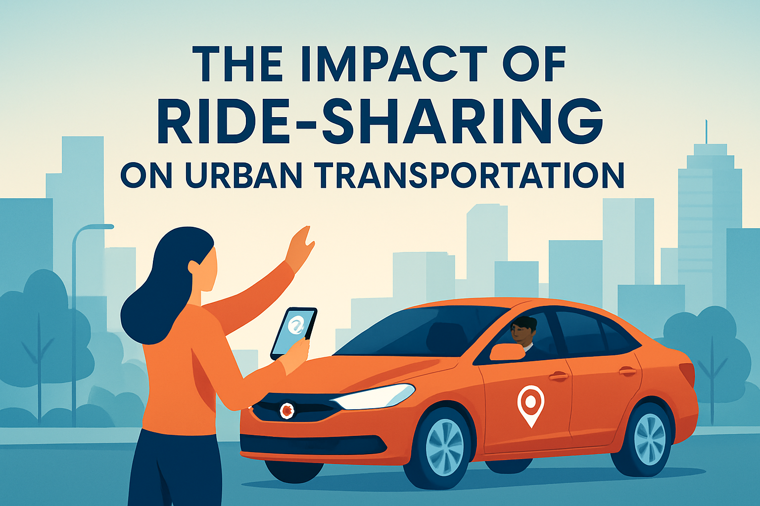
The curb has become equally important. E-commerce, ride-hailing, food delivery, bike-share, and micromobility have transformed curbside demand. Smart curb management uses sensors, cameras, digital permitting, and geofenced loading zones to organize pickups, drop-offs, freight deliveries, and parking. This matters because unmanaged curb activity creates friction that spreads across the entire street. A delivery van in a travel lane can delay buses, endanger cyclists, and reduce intersection throughput. Cities including Washington, DC and Barcelona have tested digital curb tools to allocate space by time of day and user type. In my experience reviewing these deployments, the biggest operational win is not flashy technology; it is the ability to reassign scarce curb space quickly based on actual demand data.
| Smart infrastructure element | Urban mobility problem addressed | Typical measurable outcome |
|---|---|---|
| Adaptive traffic signals | Intersection delay and unreliable travel times | Lower average delay, better corridor progression |
| Transit signal priority | Slow buses at congested junctions | Faster bus trips, improved schedule adherence |
| Smart parking guidance | Cruising for parking and local congestion | Reduced search time and vehicle miles traveled |
| Digital curb management | Double parking and pickup conflicts | Safer loading activity and smoother street operations |
| Connected street lighting | Poor visibility and inefficient maintenance | Improved safety and lower energy costs |
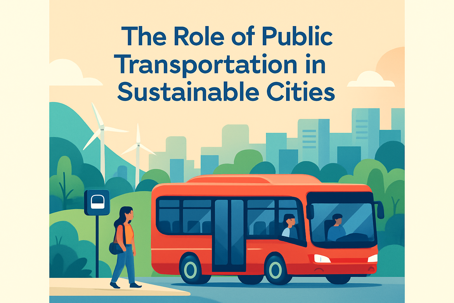
Public Transit Integration and Passenger Experience
Smart infrastructure has its greatest equity potential in public transport because buses, trams, and rail systems carry large volumes of people using limited street and rail capacity. Real-time passenger information is a foundational improvement. When riders can see actual arrival times through station displays or apps, perceived wait times fall and transfer decisions improve. Automatic vehicle location systems, integrated fare media, and account-based ticketing remove friction from the journey. Instead of buying separate tickets for each mode, a rider can move across bus, metro, regional rail, and bike-share using one payment account.
Transit signal priority is another high-impact intervention. Buses often lose time at intersections, especially on mixed-traffic corridors. By extending green phases or shortening reds when a bus approaches, cities can improve reliability without building entirely new lanes. Combined with off-board fare payment, all-door boarding, and dedicated lanes, signal priority strengthens bus rapid transit performance at a fraction of rail construction cost. Cleveland’s HealthLine and Bogotá’s TransMilenio illustrate how infrastructure, operations, and payment systems work together to support faster surface transit, although each system also shows the importance of maintenance and capacity management.
Accessibility also improves when stations and stops become smarter. Elevators equipped with predictive maintenance sensors fail less often because operators can intervene before breakdowns escalate. Audio announcements, tactile wayfinding, and dynamic information screens help passengers with visual, hearing, or cognitive impairments travel more independently. The best systems are designed for universal access from the start rather than retrofitted later. That principle applies equally to digital tools. Mobility apps that ignore low-data users, non-English speakers, or unbanked residents widen gaps instead of closing them.
Micromobility, Walking, and First-Mile Connections
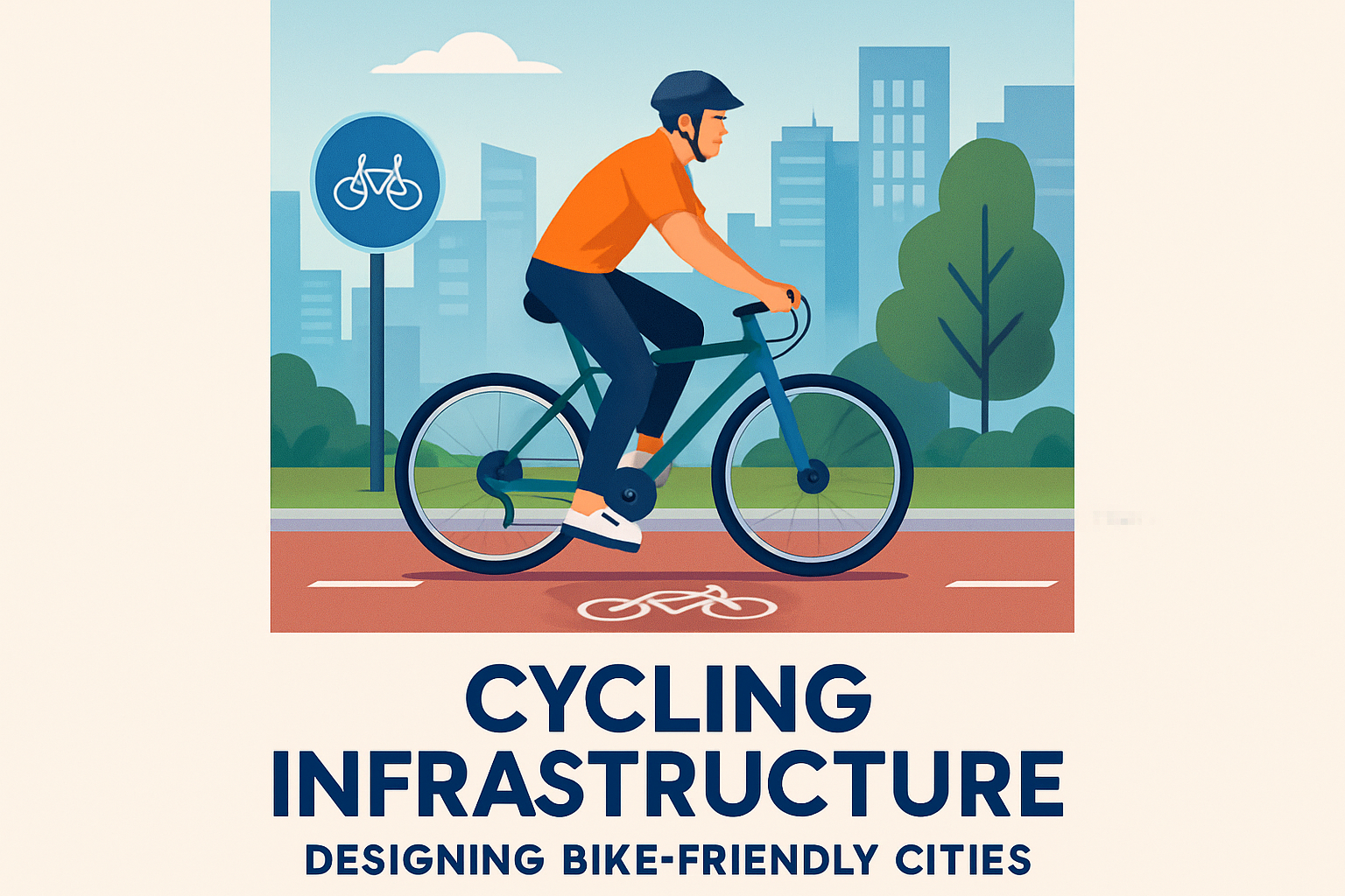
Urban mobility is not improved by moving cars faster alone. Cities function better when short trips shift to walking, cycling, and lightweight shared vehicles where appropriate. Smart infrastructure supports this shift by making active and low-speed travel safer and easier to combine with transit. Examples include protected intersections with bicycle detection, dynamic crossing times for pedestrians, geofenced scooter parking, and secure bike parking linked to transit hubs. These are small interventions compared with a subway extension, but they can produce disproportionate gains in access because many transit trips fail at the first or last mile.
Data from bike-share systems has given planners a much clearer view of latent demand. When agencies compare origin-destination patterns with crash records and street design, they can identify where protected lanes, slow zones, or secure parking will have the most effect. Paris, Copenhagen, and Amsterdam show what happens when cycling infrastructure is treated as a network rather than a recreational amenity. Smart counters, weather data, and maintenance systems help keep that network reliable year-round. For walking, connected signals and curb ramps improve compliance with accessibility standards, while lighting systems that adjust to conditions can raise perceived safety without wasting energy.
There are tradeoffs. Dockless systems can clutter sidewalks if cities fail to enforce parking rules and fleet caps. Pedestrian detection tools can introduce bias if computer vision models are not tested across different conditions and body types. The answer is not to avoid digital tools, but to govern them tightly through performance standards, audits, and public reporting.
Freight, Emergency Response, and Network Resilience
Urban mobility includes goods movement, service vehicles, and emergency access, not just commuter trips. Smart infrastructure improves freight by coordinating loading windows, routing heavy vehicles away from sensitive streets, and linking ports, warehouses, and delivery networks through shared visibility tools. In dense centers, freight demand often competes directly with buses, cyclists, and pedestrians for curb space. Digital loading reservations and dynamic curb pricing can reduce illegal stopping and increase turnover. This is especially valuable near commercial districts, hospitals, and schools where conflicts are costly.
Emergency response also benefits from connected systems. Preemption technology can change traffic signals to give ambulances and fire vehicles a faster path through intersections. Flood sensors, structural health monitoring on bridges, and real-time incident dashboards help agencies respond before a disruption cascades across the network. Resilience has become a core mobility issue as climate hazards intensify. Heat can deform rail tracks, flooding can disable tunnels and signal cabinets, and power outages can cripple charging networks and fare systems. Smart infrastructure supports resilience when it is designed with redundancy, backup power, and manual override procedures. A digital system that fails hard during an emergency is worse than a simpler system that degrades gracefully.
One lesson from cities facing hurricanes, wildfires, and extreme rainfall is that data integration matters most before and during disruptions. Transit agencies, road operators, utilities, and emergency managers need shared situational awareness. Separate dashboards with incompatible data standards slow decisions. Standards from organizations such as the National Transportation Communications for Intelligent Transportation System Protocol and the General Transit Feed Specification help systems exchange information more reliably.
Data Governance, Cybersecurity, and the Limits of Technology
For all its benefits, smart infrastructure introduces serious governance obligations. Mobility systems collect location traces, payment data, video feeds, license plate records, and operational telemetry. Without strong controls, cities risk violating privacy, locking themselves into proprietary vendors, or exposing critical infrastructure to cyberattack. Good practice starts with data minimization: collect only what is needed, retain it for a defined period, and anonymize or aggregate whenever possible. Procurement should require open standards, documented interfaces, and clear ownership of operational data. If a city cannot export its own data or switch suppliers without major disruption, it has purchased dependence rather than capability.
Cybersecurity must be treated as a transport safety issue. Connected signals, fare systems, and charging infrastructure can be targeted through weak credentials, unpatched firmware, or insecure third-party integrations. Frameworks from the National Institute of Standards and Technology provide a practical baseline for identifying assets, protecting systems, detecting intrusions, responding to incidents, and recovering operations. In projects I have analyzed, the most common weakness is not advanced hacking; it is organizational fragmentation. Transport teams, IT departments, and vendors often assume someone else is responsible for security testing, key management, or software updates.
Technology also has limits. Smart infrastructure cannot compensate for poor land use, chronic underfunding, weak bus frequency, or unsafe street design. A city with fragmented transit governance and no dedicated bus lanes will not solve reliability problems through apps alone. The strongest results come when digital systems reinforce sound transport policy: pricing scarce road space, prioritizing high-capacity modes, improving safety by design, and measuring outcomes transparently.
The impact of smart infrastructure on urban mobility is ultimately practical, not futuristic. It helps cities use existing assets more intelligently, coordinate multiple travel modes, and respond faster to changing conditions. Adaptive signals, integrated fares, real-time transit information, smart curbs, connected bike facilities, freight tools, and resilient control systems all contribute to a network that is easier to navigate and cheaper to operate. The most successful cities tie each investment to a specific public goal such as travel time reliability, accessibility, safety, emissions reduction, or equitable access. They also plan for maintenance, interoperability, privacy, and cybersecurity from the outset rather than as afterthoughts.
For readers exploring the broader urban mobility and transportation landscape, this miscellaneous hub should serve as the connective tissue between transit operations, street design, mobility technology, and policy execution. Smart infrastructure is not a silver bullet, but it is a powerful enabler when paired with clear governance and human-centered planning. If you are building out this subtopic, use this page as the starting point for deeper articles on intelligent transport systems, curb management, micromobility integration, transit modernization, and mobility data governance. The cities that move best are not always the ones that build the most. They are the ones that make every street, signal, stop, and service work together.
Frequently Asked Questions
1. What is smart infrastructure, and why does it matter for urban mobility?
Smart infrastructure refers to roads, intersections, transit systems, parking networks, utilities, and public spaces that are equipped with sensors, communications technology, software, and real-time data controls. Instead of operating as separate systems, these assets become connected and responsive. In practical terms, that means traffic signals can adapt to live congestion levels, buses and trains can be tracked more accurately, curb space can be managed dynamically, and travelers can receive better route and timing information across multiple modes of transport.
It matters for urban mobility because cities are under constant pressure to move more people and goods without endlessly expanding physical road capacity. Smart infrastructure helps cities use what they already have more efficiently. By coordinating traffic flow, improving public transport reliability, supporting micromobility, and enabling data-driven planning, it reduces friction across the entire transportation network. The result is often shorter travel times, better safety outcomes, lower emissions, and a more seamless experience for residents whether they drive, ride transit, cycle, walk, or use shared mobility services.
2. How does smart infrastructure improve traffic flow and reduce congestion?
One of the most visible benefits of smart infrastructure is its ability to manage congestion in real time. Traditional traffic systems typically rely on fixed timing plans and limited feedback, which makes them less effective when demand changes throughout the day. Smart systems use cameras, connected signals, road sensors, GPS feeds, and analytics platforms to detect conditions as they happen. This allows traffic lights to adjust timing dynamically, prioritize heavily used corridors, and respond more intelligently to bottlenecks, incidents, or special events.
Beyond signal control, smart infrastructure improves traffic flow through coordinated corridor management, digital signage, connected parking systems, and better freight routing. Drivers can be guided away from overcrowded routes or informed about open parking before circling busy blocks. Transit vehicles can receive signal priority to keep buses moving on schedule. Delivery vehicles can be directed toward efficient loading zones and time windows. These improvements may seem incremental on their own, but together they can significantly reduce stop-and-go traffic, cut wasted fuel, and improve network reliability across the city.
3. What role does smart infrastructure play in public transportation?
Smart infrastructure is increasingly central to making public transportation more dependable, attractive, and competitive with private car use. Connected transit systems can track vehicle locations in real time, monitor passenger demand, and communicate service updates instantly to riders and operators. This allows transit agencies to manage service more proactively, respond faster to delays, and provide accurate arrival information through apps, signs, and station displays. When riders know when a bus or train is actually arriving, the experience becomes more predictable and less stressful.
It also supports operational improvements behind the scenes. Agencies can use smart ticketing, automated passenger counting, predictive maintenance, and integrated fleet management to improve efficiency and control costs. Infrastructure such as bus lanes with signal priority, smart stops, and connected rail systems helps transit move faster and more reliably through dense urban environments. Over time, these capabilities strengthen the role of public transportation as the backbone of urban mobility by improving convenience, reducing wait times, and making multimodal trips easier to plan and complete.
4. Can smart infrastructure make cities safer and more sustainable?
Yes, and this is one of the strongest arguments for investment. On the safety side, smart infrastructure can identify and respond to risk patterns that are difficult to manage through static design alone. Connected intersections can detect pedestrians and cyclists, adaptive lighting can improve visibility, and traffic management platforms can highlight crash-prone locations using historical and live data. Emergency vehicles can receive signal priority, which shortens response times and reduces conflicts at intersections. Cities can also use analytics to target dangerous corridors for redesign and enforcement based on evidence rather than guesswork.
From a sustainability perspective, smarter mobility systems help reduce unnecessary idling, cut emissions, and support cleaner travel modes. Better transit coordination, efficient routing, and reduced congestion lower fuel consumption. Smart charging infrastructure supports electric vehicles and electric bus fleets. Digital tools can encourage mode shifts by making walking, cycling, transit, and shared mobility easier to access and combine. Importantly, sustainability is not just about carbon reduction. It also includes land use efficiency, improved air quality, quieter streets, and a transportation system that serves more people with fewer environmental costs.
5. What challenges do cities face when implementing smart infrastructure for mobility?
While the benefits are substantial, implementation is rarely simple. One major challenge is cost. Upgrading legacy infrastructure, deploying sensors and communications networks, integrating software platforms, and maintaining digital systems require significant upfront and ongoing investment. Many cities also face interoperability issues because transportation assets are often managed by different departments, agencies, and private partners using separate technologies and standards. Without strong coordination, data may remain fragmented and the full value of a connected system can be lost.
There are also important concerns around privacy, cybersecurity, equity, and governance. Smart infrastructure depends heavily on data collection and digital connectivity, so cities must protect sensitive information and secure systems against disruption. At the same time, planners need to ensure that technology investments benefit all neighborhoods and user groups, not just high-demand business districts or affluent communities. Successful implementation usually depends on clear policy goals, cross-agency collaboration, reliable funding, public trust, and a long-term strategy that treats smart infrastructure not as a collection of gadgets, but as part of a broader urban mobility framework.