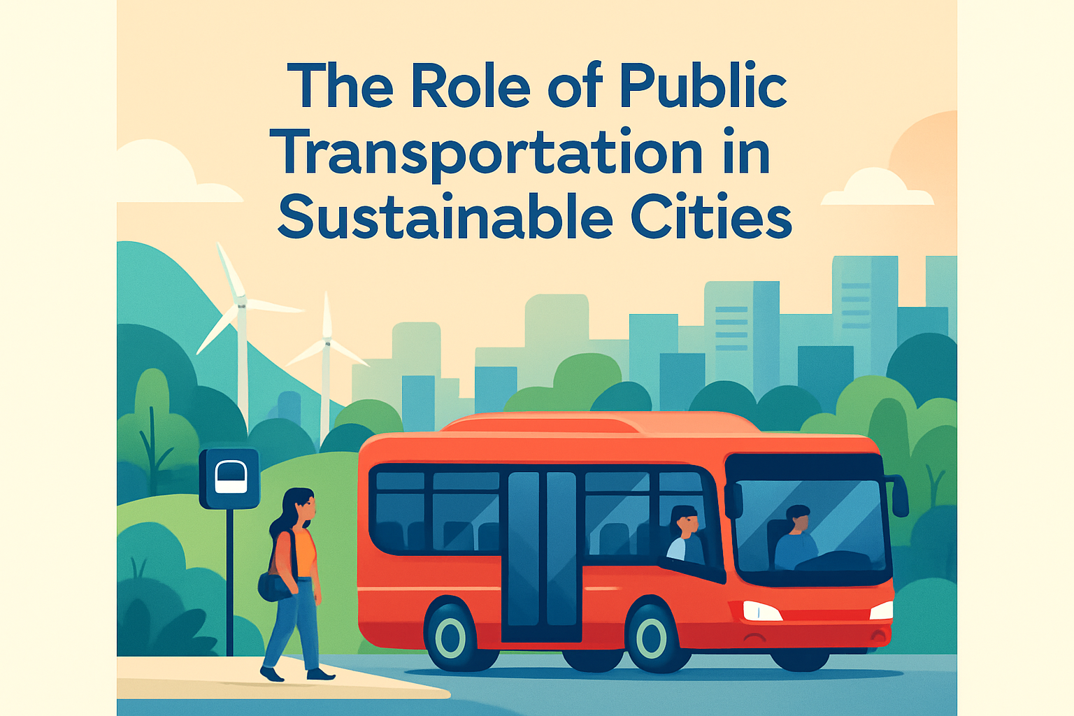
Data analytics has become the operating system of modern transportation strategy, and its role in urban mobility planning is now central rather than supportive. Urban mobility planning refers to the design, management, and improvement of how people and goods move through cities using roads, public transit, sidewalks, cycle networks, ride-hailing services, freight corridors, and emerging modes such as micromobility. Data analytics is the process of collecting, cleaning, combining, and interpreting information to guide decisions. When city agencies use mobility data well, they can reduce congestion, improve safety, shorten travel times, expand access to jobs, and spend infrastructure budgets more effectively.
I have worked on transportation content and planning briefs where the difference between a successful mobility program and a stalled one was not political intent but data quality. A city may want faster buses or safer intersections, yet without reliable origin-destination patterns, boarding counts, speed data, crash clusters, and land-use context, even well-funded plans can misfire. That is why data analytics now shapes everything from bus network redesigns to curb management policies. It helps planners answer practical questions: where delays occur, who lacks access, which interventions deliver measurable results, and how travel behavior changes over time.
This matters because cities are under pressure from population growth, climate goals, aging infrastructure, and public demand for equitable access. Traditional traffic counts and occasional surveys still matter, but they are no longer enough on their own. Today’s planners work with automatic passenger counters, GPS traces, smart card transactions, mobile device location data, connected vehicle feeds, geospatial datasets, and real-time sensor networks. The value is not in collecting more numbers for their own sake. The value lies in turning raw information into decisions that are timely, transparent, and defensible. In practice, the best urban mobility planning uses analytics to connect policy goals with operational reality.
What data analytics means in urban mobility planning
In mobility planning, data analytics means using quantitative and spatial evidence to understand travel demand, evaluate system performance, predict future conditions, and prioritize interventions. The process usually begins with data integration. Transit agencies may combine automatic vehicle location data with general transit feed specification schedules, fare card records, and passenger counts. Road agencies may merge loop detector speeds, signal timing logs, and crash reports. Planning departments often add zoning, housing density, employment clusters, and census indicators. Geographic information systems such as ArcGIS and QGIS are essential because mobility decisions are spatial by nature.
The most useful analytics programs move through four layers. Descriptive analytics explains what happened, such as bus on-time performance dropping on specific corridors. Diagnostic analytics explores why it happened, perhaps because curbside loading blocks the lane at peak hours. Predictive analytics estimates what is likely to happen next, for example using historical demand and weather patterns to forecast station crowding. Prescriptive analytics recommends action, such as retiming signals, adding bus priority, or redesigning stop spacing. This hierarchy matters because many cities collect descriptive dashboards but stop before reaching policy action.
Mobility planning also depends on matching data type to decision type. Long-range plans need demographic trends and land-use projections. Daily operations need real-time feeds. Safety planning needs high-resolution crash and near-miss analysis. Equity analysis needs demographic overlays and accessibility metrics, not just average travel speed. One lesson I have seen repeatedly is that average citywide indicators can hide severe neighborhood-level gaps. Analytics becomes powerful when it reveals those hidden patterns clearly enough that leaders can act on them.
Key data sources that cities use to understand travel behavior
Urban mobility analytics draws from a broad evidence base, and each source has strengths and limitations. Fixed sensors such as inductive loops, cameras, Bluetooth readers, and radar units are valuable for speed, volume, and corridor performance. Transit systems rely on automatic passenger counters, fare payment records, and real-time vehicle tracking to understand ridership and reliability. Shared mobility operators can provide trip starts, ends, and durations through standardized formats such as the Mobility Data Specification. Mobile phone location data can reveal broader origin-destination flows, though it requires careful privacy governance and weighting to address sampling bias.
Traditional methods still play an important role. Household travel surveys, intercept surveys, and manual counts add context that passive data often misses, including trip purpose, traveler preferences, and accessibility barriers. OpenStreetMap, parcel data, business registries, and school locations help explain why movement patterns occur. Crash databases, hospital injury records, and insurance claims can strengthen road safety analysis when used responsibly. Weather data is another critical layer because rain, heat, snow, and poor visibility alter travel demand and incident risk significantly.
The most mature cities do not rely on one perfect dataset, because none exists. They build a data stack and validate one source against another. A transit agency, for example, might compare fare taps with passenger counters to identify undercounting, then use GPS traces to separate schedule problems from traffic problems. That triangulation is what turns raw inputs into credible planning evidence.
| Data source | What it shows | Common use in planning | Main limitation |
|---|---|---|---|
| Automatic passenger counters | Boardings and alightings by stop and trip | Bus network redesign and crowding analysis | Sensor calibration errors |
| GPS and AVL feeds | Vehicle location, speed, dwell time | Reliability, delay, and bus priority studies | Signal loss in dense corridors |
| Mobile location data | Origin-destination patterns across modes | Regional demand modeling | Privacy and representativeness concerns |
| Crash records | Severity, location, and crash type | Vision Zero and safety investment targeting | Underreporting of minor incidents |
| Smart card data | Fare transactions and transfer behavior | Ridership trends and service planning | Limited visibility into nonusers |
How analytics improves transit, roads, and active transportation
Data analytics improves public transit by making reliability measurable at a granular level. Instead of saying a route is slow, planners can identify the exact segment where average bus speeds collapse between 7:30 and 9:00 a.m. They can compare running time, dwell time, passenger load, and stop spacing to decide whether the answer is a dedicated lane, all-door boarding, signal priority, or schedule revision. Cities such as London and New York have shown that bus priority works best when analytics identifies corridor-specific bottlenecks rather than applying broad assumptions.
Road network planning also benefits from analytics, especially when the goal is moving people rather than just vehicles. Travel time reliability, person-throughput, freight performance, and intersection delay provide a more complete picture than simple vehicle counts. During congestion management studies, analysts often discover that a street carrying fewer cars may still move more people because it supports buses, walking, and cycling. This shift in measurement changes investment decisions. It supports complete streets policies, adaptive signal control, and curb pricing strategies based on actual demand.
For walking and cycling, analytics is especially important because these modes are historically undercounted. Computer vision, eco-counters, and app-based trip data can reveal where demand exists but infrastructure is missing. Safety analysis can map conflict points near schools, transit stations, and commercial corridors. In one recurring pattern, protected bike lanes increase ridership most where planners pair them with intersection treatments and network continuity. Data makes that visible. It moves debate away from anecdote and toward measurable outcomes such as injury reduction, mode share growth, and improved first-and-last-mile access to transit.
Using analytics to advance equity, sustainability, and public accountability
One of the most important roles of data analytics in urban mobility planning is equity analysis. A city may report strong average transit coverage while low-income neighborhoods still face long waits, indirect routes, and unsafe walking access. Accessibility analytics addresses this problem by measuring how many jobs, schools, clinics, or grocery stores people can reach within a given travel time by different modes. Tools like OpenTripPlanner, Conveyal, and UrbanFootprint help planners compare scenarios and identify who benefits from investment decisions. This is far more informative than mapping infrastructure alone.
Analytics also supports sustainability goals. Transportation is a major source of urban greenhouse gas emissions, so planners increasingly model vehicle miles traveled, fleet electrification impacts, idling exposure, and mode shift potential. If a city wants to reduce emissions, it must know whether a proposed transit line actually substitutes for car trips, whether a low-traffic neighborhood displaces traffic elsewhere, and whether charging infrastructure aligns with fleet operations. Good analytics connects mobility planning with climate action plans instead of treating them as separate agendas.
Public accountability is another major benefit. Dashboards that publish travel times, bus reliability, safety outcomes, and capital project performance make it easier for residents to see whether promises are being kept. The best agencies present methodology clearly, update indicators regularly, and disaggregate results by corridor or district. Transparency does not eliminate disagreement, but it raises the quality of debate because policy discussions can center on evidence. When analytics is communicated well, it builds trust and improves the case for future investment.
Challenges, governance, and what effective cities do next
Data analytics is powerful, but it is not neutral or effortless. Poor data governance can produce bad planning just as easily as weak data can. Privacy is the first major concern. Mobility datasets can reveal sensitive movement patterns, so agencies need strong anonymization standards, clear retention rules, vendor oversight, and compliance with local and national regulations. Bias is another issue. Mobile data may underrepresent children, older adults, low-income residents, and people without smartphones. Crash records may miss near misses and unreported injuries. If planners ignore these gaps, they risk encoding inequity into their models.
Organizational capacity is the second challenge. Many agencies have access to dashboards but lack staff who can clean data, test assumptions, interpret causal relationships, and explain findings to decision-makers. Effective cities invest in multidisciplinary teams that combine planners, data scientists, GIS specialists, engineers, and community engagement staff. They also adopt clear frameworks for project evaluation before collecting data. In practice, I have found that starting with a defined policy question produces better analytics than beginning with a large, unstructured data purchase.
The future of urban mobility planning will involve more digital twins, machine learning, and real-time optimization, but the fundamentals will remain the same: define the objective, use fit-for-purpose data, validate findings, and measure outcomes after implementation. Data analytics does not replace judgment, local knowledge, or public consultation. It strengthens them. Cities that use analytics well make faster, fairer, and more resilient mobility decisions. For planners, agencies, and civic leaders, the next step is straightforward: build a stronger data foundation, ask better questions, and use evidence to shape transportation systems that genuinely serve people.
Frequently Asked Questions
1. Why is data analytics so important in urban mobility planning?
Data analytics is important in urban mobility planning because it allows cities to move from assumptions to evidence-based decision-making. Traditional transportation planning often relied on periodic traffic counts, limited surveys, and historical models that could quickly become outdated as travel behavior changed. Today, cities manage far more complex systems that include public transit, private vehicles, walking, cycling, freight movement, ride-hailing, delivery services, and micromobility options such as e-scooters and bike share. Data analytics helps planners understand how these systems interact in real time and over longer planning horizons.
By collecting and interpreting information from sources such as GPS traces, transit smart cards, traffic sensors, mobile devices, parking systems, and shared mobility platforms, planners can identify where congestion forms, which corridors are underserved, when demand peaks, and how people actually move through a city rather than how planners assume they move. This leads to better route design, more efficient signal timing, smarter infrastructure investments, and more accurate forecasting for growth. In practice, data analytics turns mobility planning into a continuous feedback process, where policies and projects can be measured, adjusted, and improved based on results.
2. What kinds of data are used in urban mobility planning?
Urban mobility planning uses a wide mix of quantitative and location-based data to create a clear picture of movement patterns across a city. Common sources include roadway traffic counts, transit ridership records, fare card usage, vehicle speeds, travel times, crash reports, pedestrian counts, bicycle counts, curb usage data, freight delivery activity, parking occupancy, and data from mobility services such as ride-hailing and bike sharing. Many cities also use geospatial data, land-use data, demographic information, and economic activity indicators to understand not just how people travel, but why they travel and where demand is likely to grow.
Increasingly, planners also rely on dynamic data streams such as connected vehicle information, app-based trip records, mobile location data, and sensor feeds from intersections and corridors. Each dataset offers a partial view, so the real value comes from combining them thoughtfully. For example, transit ridership data may show declining boardings on a route, but when paired with land-use changes, service reliability metrics, and demographic trends, it may reveal whether the problem is poor service, shifting employment patterns, or barriers to access. The goal is not simply to gather more data, but to integrate relevant, high-quality data that supports better planning decisions.
3. How does data analytics improve public transit and traffic management?
Data analytics improves public transit by helping agencies understand demand patterns, reliability issues, and service gaps with much greater precision. Instead of using broad averages, transit planners can examine stop-level boarding trends, route-level crowding, transfer behavior, schedule adherence, and origin-destination flows. This makes it possible to redesign routes, adjust frequencies, improve first-mile and last-mile connections, and align service with actual rider needs. Analytics can also support predictive maintenance, fleet allocation, and real-time passenger information, all of which contribute to a more dependable and attractive transit system.
In traffic management, data analytics supports more responsive control of road networks. Traffic signal timing can be adjusted based on actual vehicle volumes, corridor performance, and multimodal priorities rather than static assumptions. Cities can identify recurring bottlenecks, evaluate the impact of construction or special events, and develop strategies to reduce delay for both people and goods. Importantly, modern mobility planning is not only about moving cars faster. Data analytics helps cities balance competing priorities by measuring impacts on buses, cyclists, pedestrians, emergency vehicles, and freight operators at the same time. This creates a more complete and practical approach to managing urban movement.
4. Can data analytics help make urban mobility systems more equitable and sustainable?
Yes, and this is one of its most valuable roles. Data analytics can help cities identify whether transportation systems serve all communities fairly or whether certain neighborhoods face longer travel times, fewer transit options, unsafe walking conditions, or limited access to jobs, schools, and healthcare. By layering mobility data with demographic, income, disability, and land-use information, planners can see where inequities exist and prioritize investments where they are needed most. For example, a city may discover that low-income areas have fewer reliable transit connections or that pedestrian injuries are concentrated in communities that have historically received less infrastructure funding.
On the sustainability side, analytics can help reduce emissions, energy use, and environmental impacts by improving mode shift strategies, reducing unnecessary vehicle trips, supporting electrification planning, and making active transportation networks more effective. Cities can model how bus lane improvements, protected cycle tracks, congestion pricing, or curb management policies may reduce car dependence and improve network efficiency. Analytics also makes it easier to track whether climate and sustainability goals are actually being met over time. When used responsibly, data does not just optimize mobility; it helps cities build transportation systems that are cleaner, safer, and more inclusive.
5. What are the biggest challenges of using data analytics in urban mobility planning?
Although data analytics offers major advantages, it also comes with important challenges. One of the biggest is data quality. Different datasets may be incomplete, outdated, inconsistent, or biased toward certain users or neighborhoods. For example, app-based mobility data may underrepresent people who do not use smartphones, while sensor coverage may be stronger in high-traffic districts than in underserved communities. If planners do not account for these limitations, the resulting decisions can reinforce existing gaps rather than solve them.
Privacy and governance are also critical concerns. Mobility data can be sensitive, especially when it includes location traces, travel routines, or platform-generated trip records. Cities need strong policies for data protection, anonymization, sharing agreements, and ethical use. Another challenge is institutional capacity. Collecting data is not enough; agencies need the tools, staff expertise, and cross-department coordination required to clean, interpret, and apply it effectively. Finally, analytics should support planning judgment, not replace it. The best urban mobility strategies combine technical insight with public engagement, policy goals, and local knowledge. In other words, successful use of data analytics depends as much on governance and decision-making culture as it does on technology itself.