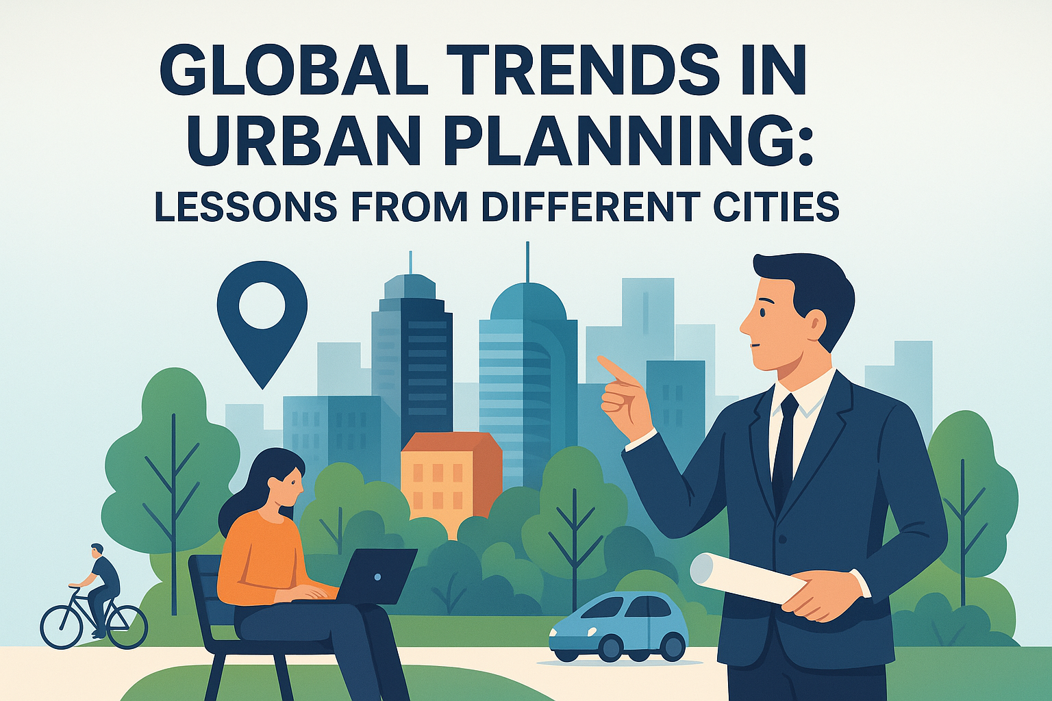
Urban planning has always been essential in shaping the environments in which we live, ensuring that cities are organized, efficient, and sustainable. As we advance further into the digital age, digital technology is playing an increasingly pivotal role in the field of urban planning. Digital tools and systems enable urban planners to design smarter cities by improving decision-making, increasing efficiency, and enhancing community engagement. The integration of technology in urban planning is not a fleeting trend but an imperative transformation that addresses contemporary urban challenges such as congestion, pollution, and resource management. This article will explore how digital technology is revolutionizing urban planning and why it matters to the development and sustainability of modern cities.
Smart Cities and Data-Driven Decision Making
Smart cities harness digital technology to collect, analyze, and interpret data to enhance urban life. Urban planners leverage big data analytics to understand trends, predict future scenarios, and make informed decisions. For instance, data from sensors and IoT devices can track traffic patterns, allowing urban planners to optimize traffic flow and reduce congestion. Chicago’s Array of Things project is an excellent example, wherein sensors throughout the city collect data on air quality, temperature, and traffic, enabling dynamic urban management. By embracing data-driven decision-making, urban planners can create responsive, adaptable cities that cater to residents’ needs and anticipate future challenges.
Geographic Information Systems (GIS) in Urban Planning
Geographic Information Systems (GIS) are pivotal in collecting, managing, and analyzing spatial information. By mapping and visualizing data, urban planners can gain insights into geographical patterns and relationships. For instance, New York City utilized GIS technology to evaluate access to green spaces and found inequities across different neighborhoods. With this data, planners developed initiatives to increase green space access in underserved areas. GIS is a powerful tool that helps urban planners allocate resources wisely, manage land use, and address social inequities.
Visualization Tools for Collaborative Planning
Visualization tools, such as 3D modeling and virtual reality, have revolutionized how urban planners communicate plans and engage with stakeholders. Through these tools, planners can create realistic visualizations of projects, allowing stakeholders to experience proposed developments before they are built. For example, in Helsinki, 3D models are extensively used to visualize urban changes and engage citizens in the planning process, fostering a collaborative approach. By making plans more tangible and understandable, visualization tools enhance transparency and public trust in urban planning decisions.
Building Information Modeling (BIM) and Efficient Urban Development
Building Information Modeling (BIM) is transforming the construction and urban development industry by allowing for detailed project models that encompass every aspect of construction. BIM facilitates collaboration among architects, engineers, and planners, ensuring more precise and efficient urban development processes. An illustrative case is Singapore, where BIM is mandated for large projects, optimizing resource use and reducing construction time and costs. The efficiency BIM brings to urban development underscores how digital technology can streamline processes and enhance urban planning outcomes.
| City | Technology Utilized | Benefit |
|---|---|---|
| Chicago | IoT Sensors | Reduced Congestion |
| New York City | GIS Technology | Improved Resource Allocation |
| Helsinki | 3D Visualization | Enhanced Stakeholder Engagement |
| Singapore | BIM | Efficient Construction |
Participatory Planning Through Digital Platforms
Digital platforms facilitate participatory planning by allowing citizens to engage directly in the urban planning process. These platforms can collect feedback, conduct surveys, and host virtual forums, ensuring that public opinions and needs are considered in decision-making. In Barcelona, the Decidim platform empowers citizens to propose and vote on urban projects, promoting a democratic approach to planning. Such participatory processes foster a sense of ownership among citizens, enhance civic engagement, and lead to more inclusive urban development.
Sustainability and Environmental Monitoring
The integration of digital technology in urban planning supports sustainability goals by enabling better monitoring and management of environmental resources. Technologies like satellite imaging and drone surveillance track environmental changes, helping planners to mitigate potential impacts and promote sustainable practices. In Amsterdam, the use of digital tools for environmental monitoring has aided in reducing carbon emissions and improving urban sustainability. Digital technology thus plays a crucial role in achieving sustainable development goals by supporting green urban planning initiatives.
Challenges and Future Directions
Despite the numerous benefits, integrating digital technology in urban planning presents challenges, such as concerns about privacy, data security, and the digital divide. Ensuring equitable access to digital tools and protecting sensitive data are paramount as cities adopt new technologies. Moving forward, urban planners must address these challenges through robust governance frameworks and innovations that prioritize both technological and social considerations. The future of urban planning lies at the intersection of technology and human-centric design, where cities are not only smart but also empathetic and inclusive.
Conclusions: Embracing Technology for Better Urban Futures
In conclusion, the role of digital technology in urban planning is transformative, offering tools and resources that significantly enhance the ability to create sustainable, efficient, and inclusive urban environments. The integration of technology enables data-driven decision-making, enhances collaborative planning, and supports sustainable practices, ultimately leading to smarter cities that improve the quality of life for their inhabitants. As urban planners and stakeholders embrace technological advancements, they must also remain mindful of the challenges, ensuring that solutions are inclusive and equitable. The journey toward technological integration in urban planning invites all stakeholders—urban planners, government officials, and residents—to collaborate in shaping cities that are not only intelligent but also vibrant and livable. To achieve this vision, engaging with the community, investing in innovations, and fostering partnerships will be key steps. Let us build urban futures that harness the potential of digital technology to create environments that thrive for generations to come.
Frequently Asked Questions
1. How is digital technology transforming urban planning?
Digital technology is revolutionizing urban planning by providing planners with advanced tools that facilitate more informed decision-making, improve efficiency, and foster greater community engagement. Traditionally, urban planning relied heavily on physical maps and models, but digital technology introduces Geographic Information Systems (GIS), 3D modeling softwares, and data analytics into the mix. These technologies enable planners to visualize potential developments more vividly and accurately assess their impacts. GIS, for example, can process layers of data to show how a new road might affect traffic patterns or how a new building might influence sunlight distribution. Moreover, technology like artificial intelligence (AI) and machine learning allows urban planners to analyze trends and predict future urban needs, leading to more resilient and adaptable urban designs. Beyond improving the technical aspects of planning, digital platforms also involve the public more effectively. Interactive maps and online forums provide citizens with opportunities to share their insights and preferences, promoting a collaborative approach to building sustainable urban environments.
2. What are some examples of digital tools used in urban planning?
Urban planners leverage a variety of digital tools to streamline their processes and enhance decision-making. Geographic Information Systems (GIS) are incredibly popular due to their ability to layer various datasets to analyze spatial relationships in urban contexts. Planners use 3D modeling software to create detailed representations of buildings and infrastructure to assess their aesthetic and functional impacts. Building Information Modeling (BIM) systems offer detailed insights into the lifecycle of buildings, aiding in sustainable development planning. Additionally, simulation software helps predict transportation and pedestrian flow, assisting planners in designing efficient transportation networks and public spaces. Beyond technical tools, digital platforms and mobile applications facilitate communication and engagement with the community, allowing for a more participative planning process.
3. How does digital technology enhance community engagement in urban planning?
Digital technology enhances community engagement in urban planning by making it more accessible and interactive for residents. Online platforms, such as social media networks, dedicated urban planning websites, and mobile applications, allow community members to review planning proposals, provide feedback, and stay informed on developments in their neighborhoods. These platforms can feature interactive maps and visualization tools that present complex information in user-friendly formats, democratizing data and encouraging public participation. Virtual and augmented reality experiences offer immersive ways for citizens to understand proposed changes, fostering a deeper empathy and comprehension of urban development projects. All these elements collectively ensure that urban planning is not just a top-down process but a collaborative effort where digital technology empowers community voices to be heard and considered.
4. What role does data analysis play in digital urban planning?
Data analysis is a cornerstone of digital urban planning, providing essential insights that inform core planning decisions. Urban environments are reservoirs of diverse data generated from sources such as traffic sensors, public transit systems, demographic surveys, and social media. By utilizing big data analytics, urban planners can interpret trends and patterns in areas like population growth, mobility, resource consumption, and more. This data-driven approach enables the creation of predictive models that anticipate future urban challenges and opportunities. Furthermore, analyzing real-time data helps planners respond swiftly to immediate issues like traffic congestion or environmental hazards. With advanced analytics, urban planning becomes a dynamic process that evolves alongside changing urban patterns, ensuring cities remain sustainable, livable, and efficient.
5. How do smart cities utilize digital technology for urban improvement?
Smart cities leverage digital technology to enhance their urban environments, focusing on sustainability, convenience, and improved quality of life for their residents. By integrating various digital infrastructures such as IoT (Internet of Things) devices, smart cities gather real-time data to optimize public services including waste management, energy use, and transportation systems. For instance, sensors can adjust street lighting based on pedestrian flow or monitor air quality to trigger necessary interventions. In terms of mobility, smart traffic management systems help alleviate congestion by adjusting traffic signal timings or rerouting vehicles via real-time navigation apps. Moreover, urban planning in smart cities involves using AI to predict resource demand and manage city functions more efficiently. With ongoing technological development, smart cities continue to evolve, offering sustainable solutions that cater to the needs of their residents while addressing broader environmental concerns.