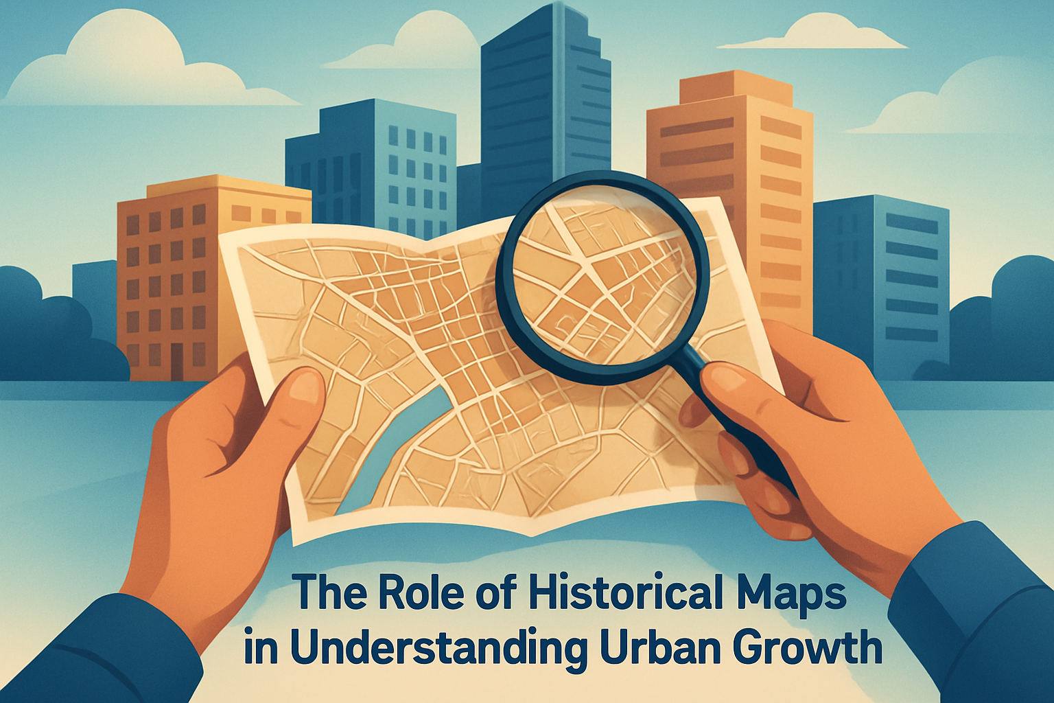
Maps are more than just tools for navigation; they serve as windows into the past, offering insights into the historical progression of landscapes and city structures. Historical maps, in particular, play a crucial role in understanding urban growth and development. But why are these antiquated documents still relevant in our digital age? Simply put, they hold the key to untangling the complex narrative of urban expansion, elucidating the influences of geography, politics, and economics on the evolution of cities. At first glance, a historical map might seem like a relic of the past. However, these maps hold a wealth of information waiting to be uncovered. By analyzing them, we can gain a deeper understanding of how cities have expanded, identify patterns in urban planning, and predict future growth trends.
In this article, we will delve into the significance of historical maps, define key terms associated with urban growth, and explore the reasons why this topic matters to city planners, historians, and everyday citizens alike. We will also discuss how these maps provide a visual record of changes to cityscapes over time, revealing the cultural, social, and economic transformations that have shaped urban environments. By engaging with the rich tapestry of historical maps, we can appreciate the intricate interplay of factors that drive urban growth and develop informed strategies for navigating the challenges and opportunities of modern urbanization.
The Value of Historical Maps
The true value of historical maps lies in their ability to encapsulate the social, economic, and political dynamics of a particular time and place. By studying these maps, we can trace the development of urban spaces, understand the factors that contributed to their growth, and learn about the evolution of infrastructure and transportation systems. For example, the Sanborn Fire Insurance Maps of the United States, created between the late 19th and early 20th centuries, offer detailed insights into the urban landscape of that era. These maps were created for the purpose of assessing fire insurance liabilities, and as a result, they provide an incredibly detailed depiction of urban areas, including building footprints, street layouts, and infrastructure such as water mains and fire hydrants.
By examining these maps, researchers can identify patterns in urban development, such as the spread of residential areas, the establishment of commercial districts, and the growth of transportation networks. These maps can also reveal information about land use, population density, and the distribution of different social and economic groups within a city. For instance, a comparison of Sanborn maps from different years can highlight the expansion of industrial areas, the emergence of new neighborhoods, or the decline of certain parts of a city. By providing a visual record of these changes, historical maps help us understand how cities have evolved and what factors have driven their growth.
Case Study: London and the Impact of Conditional Factors
One of history’s most renowned examples can be found in London, where historical maps have played a pivotal role in understanding how natural and human-induced factors have influenced urban growth. London, a city with roots dating back to Roman times, has undergone significant transformations throughout centuries of urban development.
During the 17th century, cartographer John Rocque crafted a detailed map of London that epitomized the city’s layout prior to the notorious Great Fire of 1666. This map highlights how London’s geography, specifically the River Thames, played an instrumental role in shaping the city. The Thames facilitated trade and transportation, influencing the density and distribution of population and industry. The map also displays the narrow, winding streets and packed buildings typical of pre-modern cities.
Over time, London developed modern sewage systems, expansive road networks, and intricate public transportation pathways. By juxtaposing Rocque’s map with maps from later centuries, we can observe not only the expansion and rebuilding following the fire but also the impact of the Industrial Revolution, which spurred London’s growth and necessitated major infrastructural adjustments to the cityscape.
City Infrastructure and Planning: The Case of New York City
Another sterling example of how historical maps aid in understanding urban growth is New York City. The Commissioner’s Plan of 1811, which set forth the gridiron layout we associate with Manhattan today, is a prime document for examining urban planning principles. This map delineated a coherent block system introducing formal streets and avenues to an otherwise erratic landscape.
| Element | Real-World Impact |
|---|---|
| Grid System | Facilitated organized, predictable urban expansion |
| Park Inclusion | Introduced green public spaces, such as Central Park |
| Public Amenities | Laid frameworks for schools, hospitals, and other services |
Comparative analysis of maps preceding 1811 and those established after highlights a drive toward modernization and an accommodation of economic growth factors. Municipalities sought to balance urban density with living standards, considering the burgeoning immigrant population and increased demand for affordable housing, which later became critical issues in city’s planning strategies.
The Economic and Social Aspects in Paris
Paris, known for its cultural vibrancy and historical richness, provides yet another fascinating tableau through which to survey the significance of historical maps. The creation of maps by Baron Georges-Eugène Haussmann in the 19th century underscores the intersection of economic ambitions and social reform.
In an era defined by tumult and modernization, Haussmann instigated a redesign of Paris that replaced its archaic medieval street plan with a network of wider boulevards, expansive avenues, and vibrant squares. These changes addressed public health concerns, incentivized commerce, and reduced the risk of congestion due to population surges. By evaluating these historical maps, one gains an appreciation for the foresight in integrating functionality with elegance, enabling Paris to flourish as a central node of economic and intellectual exchange.
Through Haussmann’s maps, historians and urban planners today grasp how effective city planning can enhance quality of life for urban residents, balancing modernization with historical preservation criteria. Their value extends beyond mere cartographic novelty to offering a snapshot of city aspiration intertwined with practical governance.
Modern Implications and Applications
Understanding urban growth through historical maps is not just of academic interest; it carries strong practical implications for contemporary urban development. As modern cities confront challenges such as sustainability, climate change, and urban sprawl, insights drawn from historical maps become indispensable tools for urban planners, architects, and policymakers.
One current application is in the realm of sustainable development. By examining how cities previously navigated infrastructure development and land-use planning, modern strategists can adopt past successful practices while avoiding prior pitfalls. For instance, understanding the expansion of public transportation networks in historic cities can inform the design of efficient transit systems that minimize their environmental footprint. Similarly, analyzing past land-use patterns can shed light on how to optimize space utilization, reduce congestion, and maintain green belts within growing urban regions.
Conclusion: Embracing the Lessons of Historical Maps
As demonstrated throughout various historical case studies, the role of historical maps in understanding urban growth is undeniable. These maps not only chronicle the evolution of cities over time but also illuminate the social, economic, and political forces that have molded their development. By meticulously studying these maps, city planners and policymakers can draw valuable lessons from the past, implement informed growth strategies, and create urban environments that meet the demands of an ever-changing world.
In summary, the rich insights derived from historical maps offer a multifaceted view of urban growth, fostering an appreciation of the complex interplay of factors that have and will continue to influence urban development. By engaging with these invaluable resources, individuals and communities can work together to chart a course towards sustainable, inclusive, and vibrant urban landscapes.
If you’re intrigued by the possibilities that historical maps reveal, consider delving deeper into the history of your own city or exploring the archival collections available online. Discover how these historical documents can inform a more nuanced understanding of the urban landscape around you and inspire innovative solutions for the cities of tomorrow.
For further exploration, you might begin by visiting your local library or historical society to access their cartographic collections. Join online forums and discussions dedicated to urban growth, where enthusiasts and experts share valuable insights. The knowledge gained from examining these historical records can empower you to partake actively in the dialogue surrounding urban development and contribute meaningfully to the future of our cities.
Through the lens of historical maps, we can not only comprehend where cities have been but envision where they could go. Embrace their teachings, advocate for informed city planning, and join the endeavor to create urban spaces that reflect the best of our past and the aspirations of our future.
Frequently Asked Questions
1. Why are historical maps important for understanding urban growth?
Historical maps are essential tools for understanding urban growth because they provide a visual representation of how cities and landscapes evolved over time. These maps capture snapshots of urban development at different points in history, allowing us to trace the trajectory of expansion and change within urban areas. By examining changes in city boundaries, transportation networks, land use, and the distribution of population and infrastructure, historians and urban planners can glean valuable insights into the past. Historical maps help us make sense of how human activities, such as industrialization, migration, and economic shifts, have shaped the built environment. Furthermore, these maps reveal the intricate relationships between geography, politics, economics, and societal values that have influenced the growth patterns of cities. They serve as evidence for how natural features and man-made developments interacted, leading to the current urban landscapes we see today.
2. How do historical maps help reveal the influences of geography on urban growth?
Geography plays a pivotal role in determining the location, size, and shape of urban areas. Historical maps allow us to understand how physical geography, including topography, climate, and proximity to natural resources, has influenced urban growth. These maps often highlight geographical features such as rivers, coastlines, and mountain ranges that have historically dictated the placement of cities, as they provided essential resources, trade routes, and natural defenses. By tracing the expansion of cities along these features, historical maps illustrate how geography has dictated population settlement patterns, economic activities, and transportation networks. Moreover, they shed light on how human engineering has attempted to overcome geographical limitations through infrastructure projects, like the construction of bridges, tunnels, and canals. By juxtaposing historical maps with current maps, one can discern dramatic shifts or continuities in growth patterns dictated by the enduring characteristics of the local geography.
3. In what ways do political factors appear on historical maps, and how do they affect urban growth?
Political factors significantly influence urban growth, and historical maps are a testament to their impact. The geographical boundaries depicted on these maps often reflect political decisions, such as the delineation of city limits, zoning laws, and annexation policies. Changes in these boundaries over time, as revealed by historical maps, can provide evidence of political actions, such as the expansion of city limits to incorporate surrounding areas for greater resource control or voting influence. Additionally, these maps may indicate the presence of landmarks like government buildings, military installations, or colonial settlements, which played a critical role in shaping urban centers. Analyzing maps from different eras reveals political dynamics, such as shifts in political regimes, colonization, independence, and policy changes, all of which leave marks on the urban fabric. Understanding these political influences sheds light on how power struggles and governance have fostered or hindered urban development throughout history.
4. What economic insights can be gained from examining historical maps?
Historical maps are rich sources of economic insights as they visually represent the economic activities and priorities of different periods. These maps may show trade routes, marketplaces, industrial zones, and transportation systems that were central to the economic growth of urban areas. By tracing these elements over time, we can observe how economies expanded or contracted, shifted locations, and adapted to new industries or technologies. For instance, historical maps might display the rise of industrial areas during the Industrial Revolution, the development of ports that facilitated trade, or the emergence of residential suburbs that catered to the growing middle class. They also indicate how access to resources, such as waterways or mineral deposits, drove urban expansion and influenced economic ventures. By examining the changes in land use and urban planning, historians and economists can gain a better understanding of how economic forces, like trade regulations, industrial policies, and labor migration, have shaped the growth and character of cities over time.
5. Can historical maps be used to predict future urban growth? If so, how?
While historical maps primarily provide a retrospective view, they can be instrumental in predicting future urban growth. By analyzing trends and patterns from past maps, urban planners and geographers can identify factors that led to successful or problematic development. Recognizing recurring themes, such as the influence of transportation networks or the impact of migration waves, allows for more informed predictions of future growth patterns. Historical maps can serve as cautionary tales, highlighting potential pitfalls such as over-expansion into ecologically sensitive areas, infrastructure strains, or socio-economic segregation. Furthermore, by combining insights from historical maps with contemporary data and projection models, urban planners can anticipate challenges and opportunities, crafting strategies that align with both historical precedents and future aspirations. These maps remind us that today’s urban decisions are tomorrow’s history; thus, learning from the past is crucial in shaping sustainable and resilient urban futures.