
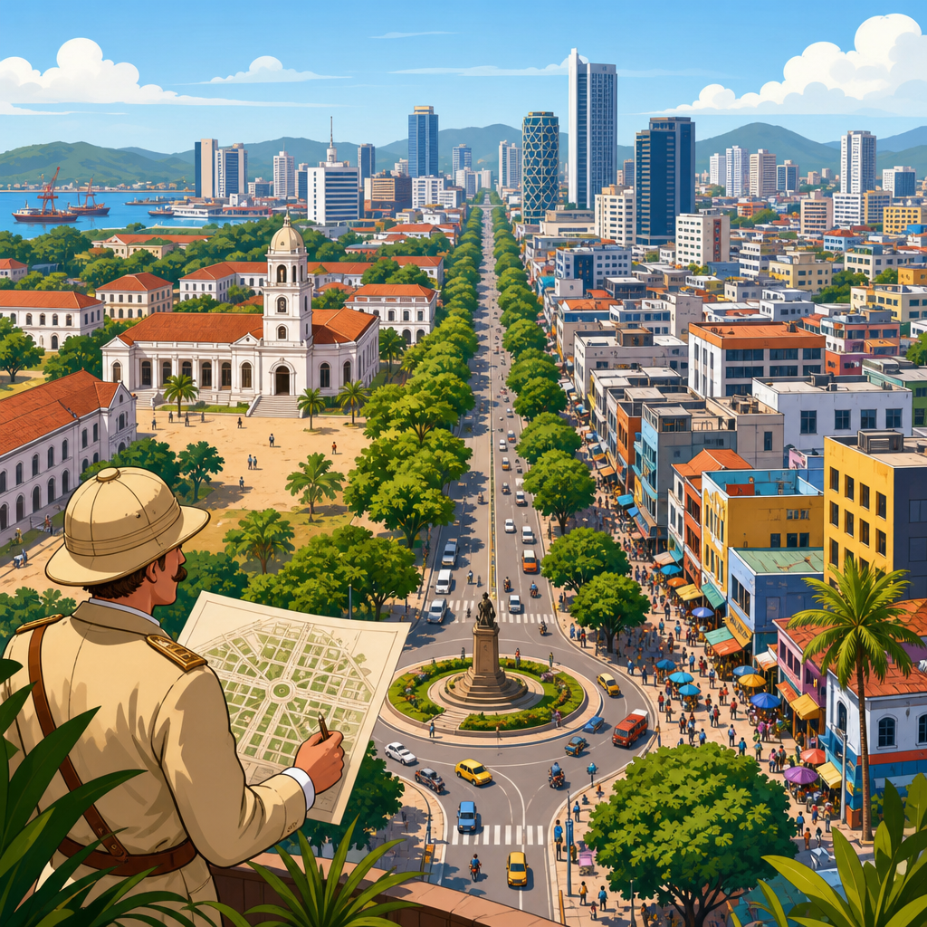
Colonial planning legacies still shape contemporary cities through street grids, zoning boundaries, infrastructure corridors, land laws, and unequal access to housing, transport, and public space. In urban planning, a legacy is not simply an old building or a preserved district. It is a durable system of rules, spatial patterns, and institutional habits that continue to influence how a city grows and who benefits from that growth. Colonial planning refers to the policies and design decisions imposed by imperial administrations to control territory, organize labor, extract resources, and separate populations. Contemporary cities, whether in Africa, Asia, the Caribbean, the Middle East, or Latin America, often operate on foundations built during those periods, even when the colonial state is long gone.
I have worked with city plans, cadastral maps, transport studies, and land records that reveal how persistent these patterns are. A major road may follow a route first cut to connect a port with a mine. A green, low-density district may exist because it was once reserved for officials, while crowded informal settlements may occupy land that was historically excluded from investment and legal tenure. Planning departments may still use inherited categories for land classification, setbacks, and building control. These are not symbolic traces. They affect commute times, health exposure, property values, tax bases, and political representation.
This topic matters because cities are now where economic opportunity, climate risk, and social inequality collide. When planners discuss affordable housing, transit-oriented development, resilience, or regeneration, they are often responding to spatial problems produced or hardened by colonial systems. Understanding those origins does not reduce every urban issue to colonialism, but it does clarify why some problems are so resistant to technical fixes alone. It also helps distinguish between infrastructure that can be adapted and institutions that must be reformed. For a hub on urban planning and policy, colonial planning legacies provide a framework for connecting land governance, mobility, public health, informality, and environmental justice into one coherent story.
How Colonial Planning Was Designed to Govern
Colonial urban planning was rarely neutral. It was designed to secure administrative authority, protect commercial interests, and manage perceived threats. Across the British, French, Portuguese, Dutch, Belgian, and Spanish empires, planning commonly prioritized ports, rail terminals, cantonments, government precincts, and segregated residential districts. Sanitation language often justified racial separation, but public investment followed political power more than health evidence. In many cities, so-called native quarters were denied drainage, paved roads, and sewerage, then blamed for disease and disorder. This pattern appeared in Nairobi, Dakar, Delhi, Algiers, and countless smaller municipalities.
Several planning tools became especially durable. Gridiron layouts made surveying and control easier. Buffer zones separated elites from laboring populations. Building ordinances regulated materials and plot coverage, often excluding lower-income residents from legal construction. Land titling systems converted customary tenure into administratively legible property, usually in ways that favored settlers, concession companies, or compliant intermediaries. Infrastructure networks connected extraction zones to export gateways, not necessarily neighborhoods to one another. These choices shaped urban form for decades because roads, rail alignments, and land records are expensive to reverse once fixed.
One important point is that colonial planning differed by place and period. Some cities had precolonial urban systems that were modified rather than replaced. Others were built almost entirely as colonial ports, military outposts, or plantation towns. Indirect rule produced different municipal institutions than assimilationist models. Yet the recurring logic remained control first, inclusion later, if at all. That logic is visible today in fragmented jurisdictions, uneven service delivery, and legal frameworks that make formal access easier for capital than for residents with insecure tenure or informal livelihoods.
Enduring Spatial Patterns in Contemporary Cities
The most visible legacy is spatial inequality. In many former colonial cities, high-value districts still occupy elevated, well-serviced, or climatically favorable land selected for administrators and commercial elites. Lower-income settlements cluster on floodplains, steep slopes, industrial edges, or peripheral land with weaker service networks. This is not accidental geography. It reflects a historical hierarchy embedded in street widths, drainage systems, plot sizes, and transport investments. Once these advantages become capitalized into land values, they reproduce themselves through the market.
Central business districts also often reflect colonial commercial logic. Warehousing, customs facilities, financial offices, and rail yards anchored early cores near ports and administrative compounds. Even after deindustrialization or port relocation, those cores retain superior connectivity and institutional density. By contrast, areas developed for indigenous residents or migrant labor may remain underprovided because they began outside official plans, then expanded faster than municipalities could regularize them. I have seen master plans label such districts as temporary for generations, a planning fiction that delays infrastructure while residents build permanent lives.
Transport networks illustrate the same pattern. Radial roads frequently connect resource hinterlands to export nodes, while cross-town links between marginalized districts remain weak. Commuters may travel long distances to jobs because the city was not designed for integrated labor markets. In cities such as Mumbai, Lagos, and Jakarta, historical port and rail geographies continue to influence logistics, congestion, and exposure to pollution. Where bus rapid transit or metro systems are introduced, they often must retrofit around inherited rights-of-way and property regimes created under earlier administrative priorities.
Institutions, Law, and the Persistence of Unequal Access
Colonial planning legacies survive not only in space but also in law and administration. Many planning statutes in use today descend from ordinances written to regulate sanitation, building safety, and urban order from an imperial viewpoint. Minimum plot sizes, road reservations, setback rules, and use segregation can make legal development unaffordable for a majority of residents. When standards presume formal employment, mortgage access, and serviced land, informal settlements become structurally inevitable, not merely the product of individual noncompliance.
Land administration is especially important. Colonial cadastral systems often recorded freehold or leasehold rights selectively, while customary or collective claims received weaker recognition. After independence, governments inherited maps, registries, and legal categories that appeared objective but reflected unequal initial allocations. Disputes over peri-urban expansion today often stem from this mismatch between statutory tenure and lived land relations. In practice, developers, state agencies, and residents operate within overlapping systems of authority, creating uncertainty that raises transaction costs and invites eviction or speculation.
Municipal governance also bears this inheritance. Boundaries were often drawn to separate taxable, serviced urban cores from labor settlements beyond the main fiscal perimeter. That fragmentation persists in metropolitan regions where affluent jurisdictions capture revenue while poorer districts carry infrastructure deficits. Capacity gaps are then misread as local failure rather than the product of a historically uneven institutional map. Effective reform requires metropolitan coordination, fiscal equalization, and planning law that recognizes incremental development instead of criminalizing it.
| Colonial planning tool | Original purpose | Common present-day effect |
|---|---|---|
| Segregated zoning | Separate populations and protect elite districts | Persistent inequality in land value, services, and environmental quality |
| Port-rail corridors | Move exports efficiently | Congestion, industrial land conflicts, and uneven regional connectivity |
| Selective land titling | Secure state control and settler property | Tenure disputes, informality, and exclusion from formal finance |
| Low-density administrative precincts | Provide health, security, and prestige for officials | Large infrastructure burdens and limited housing supply in central areas |
| Sanitary buffers | Create physical separation under health rationales | Barriers, vacant land patterns, and disjointed neighborhood connections |
Infrastructure, Environment, and Public Health
Infrastructure built under colonial rule often encoded priorities that remain visible in environmental risk. Drainage systems protected commercial districts first. Water networks served military barracks, government compounds, and industrial users before surrounding neighborhoods. Tree planting, parks, and ventilation corridors improved comfort in selected areas, while extraction zones and worker districts absorbed pollution. Contemporary climate vulnerability often follows these inherited lines. Neighborhoods left outside durable drainage networks face repeated flooding; settlements on reclaimed wetlands or unstable hillsides confront landslide and heat risks intensified by rapid urbanization.
Public health planning provides a clear example of continuity and contradiction. Colonial authorities frequently invoked disease prevention, especially after outbreaks of plague, cholera, yellow fever, or influenza, but interventions were often coercive and selective. Demolition, quarantine, and relocation targeted marginalized communities more aggressively than deficient infrastructure in elite districts. Today, cities still wrestle with the legacy of public health used as a rationale for displacement. Upgrading informal settlements with sanitation, water, and street access generally produces better outcomes than clearance, yet outdated planning codes can still privilege removal over improvement.
Environmental justice debates also connect directly to colonial legacies. Industrial facilities, waste sites, highways, and depots are often concentrated where land was historically devalued. Residents in such districts experience higher exposure to air pollution, noise, and heat, while having less tree cover and weaker access to healthcare. This pattern is evident in parts of Johannesburg, Accra, and Kingston, where apartheid or colonial-era land allocation combined with later market pressures. Any serious urban climate strategy must therefore address historic inequity in service provision, not just future emissions targets or engineering standards.
What Deeper Reform Looks Like Today
Addressing colonial planning legacies does not mean freezing cities in blame or treating history as destiny. It means diagnosing inherited structures accurately and choosing reforms that change how land, infrastructure, and decision-making work. The strongest responses I have seen combine spatial analysis with institutional change. Cities map historic exclusion against current indicators such as travel time, flood exposure, tenure security, service coverage, and tax effort. They then revise planning standards, invest in overlooked districts, and redesign governance to match metropolitan realities rather than colonial boundaries.
Practical measures include regularizing tenure where possible, protecting tenants during upgrading, revising minimum lot and road standards, and legalizing incremental housing improvements. Transit investment should prioritize links between peripheral residential areas and employment centers, not only prestige corridors. Heritage policy should move beyond preserving colonial architecture for tourism and ask who gains from adaptive reuse, public access, and land value appreciation. Participatory planning also matters, but it must be tied to budgets, legal authority, and transparent data to avoid becoming a symbolic exercise.
Universities, archives, and planning agencies can support this work by digitizing old plans, cadastral records, and infrastructure maps, then comparing them with present conditions using GIS. That evidence helps explain why some neighborhoods lack rights-of-way, why drainage fails repeatedly, or why land disputes cluster along former administrative lines. Contemporary cities are not colonial cities, but many still operate through colonial spatial logics. Planners and policymakers who recognize those logics can make better decisions about housing, transport, resilience, and fairness. If you are building an urban planning strategy, start by asking which inherited rules and maps still decide who belongs where.
Frequently Asked Questions
What does “colonial planning legacy” mean in contemporary cities?
A colonial planning legacy is the long-lasting urban structure left behind by colonial rule, not just in the form of historic buildings, but in the rules, land systems, transport networks, zoning practices, and administrative habits that continue to shape everyday urban life. In planning terms, a legacy is durable because it becomes embedded in how a city functions. Street grids may still direct movement and investment. Land titles created under colonial administrations may still determine who can legally occupy, sell, or inherit property. Infrastructure corridors built to serve ports, extraction, military control, or segregated settlement patterns may still influence where jobs, housing, and services cluster today.
This matters because cities do not grow from a blank slate. Contemporary planners often inherit boundaries, legal categories, and spatial hierarchies that were designed for very different political purposes. In many former colonies, planning systems were originally used to control populations, separate communities, facilitate trade extraction, and privilege certain districts over others. Even after independence, those arrangements were often retained, adapted, or layered into modern governance. As a result, inequality in present-day cities can be reinforced by decisions made generations ago. Understanding colonial planning legacy helps explain why some neighborhoods have better infrastructure, why land disputes persist, and why access to public space, mobility, and services remains uneven.
How do colonial-era street layouts and zoning systems still affect cities today?
Colonial-era street layouts and zoning systems often continue to organize urban life because they shape the physical framework on which later development is built. A street grid introduced during colonial rule may still define traffic flow, block sizes, land values, and commercial activity. Roads originally designed to connect administrative centers, ports, rail lines, or elite enclaves often remain major mobility corridors. That means historical priorities can continue to influence which neighborhoods are most accessible and which remain disconnected from opportunity. In practical terms, a city’s transport efficiency, real estate patterns, and public investment often follow inherited routes rather than purely contemporary needs.
Zoning systems can be even more consequential. Many colonial planning regimes used zoning not only to organize land uses, but also to separate populations by race, class, occupation, or legal status. Over time, these formal separations may have been rewritten into modern planning language, yet their spatial effects can persist. Formerly privileged districts may still have wider roads, more open space, stronger utilities, and better public institutions, while historically excluded areas may face overcrowding, insecure tenure, or environmental risk. Even when regulations no longer explicitly discriminate, the inherited map of land-use categories, plot sizes, setbacks, and infrastructure standards can make it much easier to invest in some places than others. This is why urban inequality often appears deeply rooted: the planning framework itself can reproduce patterns established long ago.
Why are land laws and property systems such an important part of colonial planning legacies?
Land laws and property systems are central because they determine who has legal recognition, who can accumulate wealth through land, and who can access housing, credit, and public services. In many colonial contexts, land was surveyed, titled, taxed, and allocated according to systems that favored settlers, commercial interests, state control, or select local intermediaries. Customary land practices were sometimes ignored, restricted, or selectively recognized. That created overlapping claims and uneven legal protection that can persist well into the present. When modern cities expand over peri-urban or formerly rural land, those unresolved legal layers often resurface in disputes over ownership, compensation, and development rights.
These systems continue to matter because formal legality strongly affects urban inclusion. Households without recognized title may struggle to secure mortgages, connect to infrastructure, or defend themselves against eviction, even if they have occupied land for generations. Meanwhile, land that was historically privileged through registration, mapping, and state investment often becomes more valuable and easier to develop. This can deepen inequality across neighborhoods and social groups. Colonial land regimes also shaped cadastral systems, planning approvals, and institutional authority, meaning that contemporary land governance may still rely on categories and procedures designed in colonial times. For planners and policymakers, addressing this legacy often requires more than technical reform. It may involve tenure regularization, legal harmonization, restitution, stronger protections for informal residents, and a more equitable recognition of existing land claims.
How do colonial planning legacies influence housing, transport, and public space inequality?
Colonial planning legacies influence inequality by concentrating high-quality infrastructure and public amenities in some parts of the city while leaving others underserved. Housing inequality often reflects historical segregation, differential land access, and uneven state investment. Districts once reserved for colonial administrators, commercial elites, or favored populations frequently developed stronger infrastructure, clearer legal status, and more durable housing markets. In contrast, areas associated with labor compounds, indigenous settlements, or peripheral communities were often given fewer services and weaker protections. Those differences can carry forward through generations, shaping who lives near jobs, who spends more time commuting, and who is most exposed to overcrowding or environmental hazards.
Transport networks reflect similar patterns. Roads, railways, and transit routes originally designed to move goods, connect administrative centers, or control labor flows may not align with present-day commuting needs. As cities grow, peripheral areas—often home to lower-income residents—can remain poorly served, forcing people to rely on longer, more expensive, or less safe journeys. Public space is also affected. Parks, civic squares, waterfronts, and institutional zones were often distributed according to colonial priorities, which could exclude large portions of the population from well-maintained recreational and civic environments. Today, that legacy may appear in unequal park access, privatized open space, or city centers that remain symbolically and materially more welcoming to some groups than others. Taken together, these patterns show that inequality is not only social or economic; it is spatially organized through inherited planning structures.
Can contemporary urban planning address colonial legacies without erasing history?
Yes, but it requires planners to move beyond simple preservation or demolition debates and focus on how inherited systems operate in the present. Addressing colonial legacies does not mean removing every colonial-era structure or rejecting all historical urban forms. Instead, it means identifying which rules, boundaries, institutions, and investment patterns continue to produce unfair outcomes. A city can preserve historically significant architecture while still reforming exclusionary zoning, rethinking land tenure, expanding transit to underserved districts, and redistributing public investment. In other words, the goal is not to erase history, but to stop harmful historical arrangements from dictating who benefits from urban growth today.
Effective responses usually combine spatial, legal, and institutional change. Planners may revise master plans to reconnect segregated districts, upgrade infrastructure in historically neglected areas, and create more inclusive housing policy. Governments can reform property laws, recognize informal tenure, and improve access to public services regardless of documentation status. Public space strategies can prioritize neighborhoods that were historically denied parks, sidewalks, and civic amenities. Just as important, institutions need to confront their own inherited habits, including top-down decision-making, rigid standards that exclude low-income communities, and planning practices that value elite districts more than everyday neighborhoods. A thoughtful approach acknowledges history, involves affected communities, and uses planning as a tool for repair rather than simply reproduction. That is how contemporary cities can reckon with colonial planning legacies while building fairer urban futures.


